#2022-winter-storm
#2022-winter-storm
[ follow ]
#power-outages #winter-storm #noreaster #blizzard #travel-disruptions #flight-cancellations #coastal-flooding
Europe news
fromIrish Independent
16 hours agoWorst of Storm Dave weather has passed as thousands of homes without power; warning of potential flight disruption today
Dublin Airport experienced flight disruptions due to strong winds, while Howth RNLI rescued a kite surfer blown offshore during Storm Dave.
Europe news
fromIrish Independent
1 day agoStorm Dave: flights cancelled at Dublin Airport as warning comes into force for entire country with 100kmh gusts expected
Storm Dave is causing significant travel disruptions in Ireland with wind and rain warnings, leading to flight cancellations and challenging driving conditions.
fromwww.npr.org
3 weeks agoSnow and wind batter parts of US, with threat of thunderstorms and tornadoes
Successive punches of snow, wind and severe weather are "going to impact the eastern half of the United States," AccuWeather senior meteorologist Tyler Roys said in an interview. Beyond the threat to lives and property, "whether it's wind gusts from a squall line, blizzard or snow, or just wind because of the storm, you're looking at several major airports being impacted."
US news
fromwww.scientificamerican.com
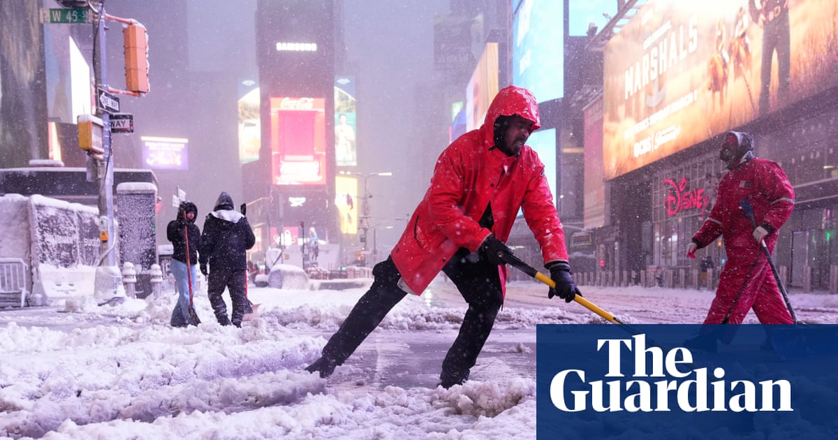
1 month agoA bomb cyclone is bringing blizzard conditions to the Northeast. So what is a blizzard exactly?
But what, exactly, is a blizzard? A blizzard doesn't always mean "a lot of snow," though it can certainly bring heavy snowfalls, as this storm is expected to along parts of the East Coast. Rather, the National Weather Service defines it as a snowstorm with winds regularly above 35 miles per hour and "considerable falling" or blowing snow for at least three hours.
Science


fromenglish.elpais.com
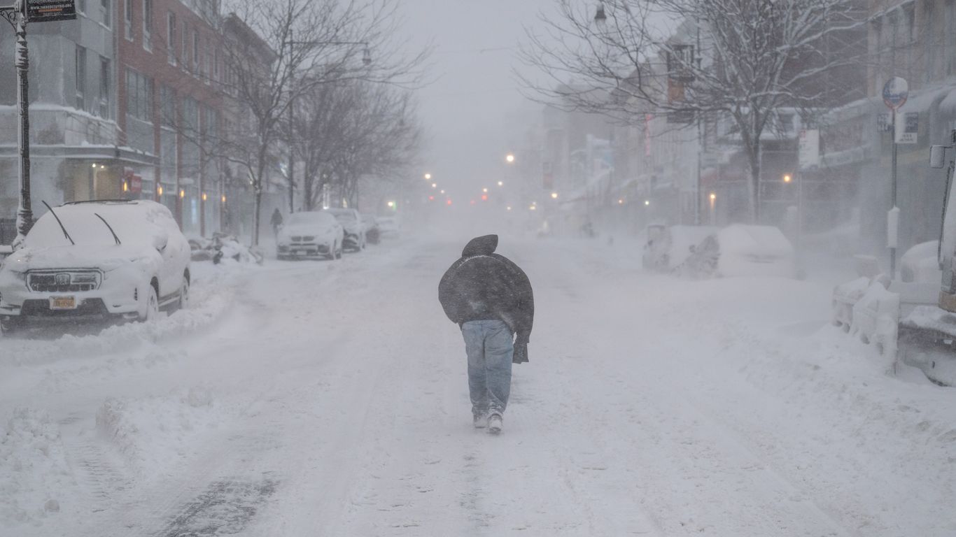
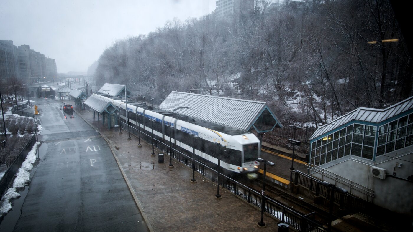
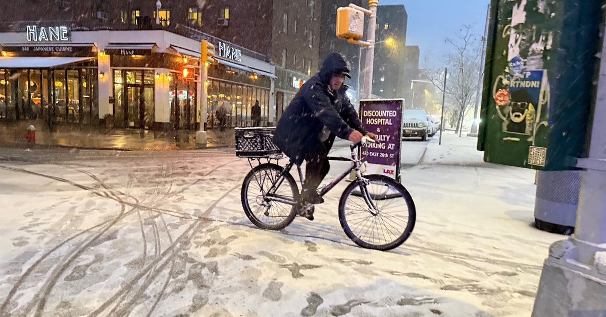
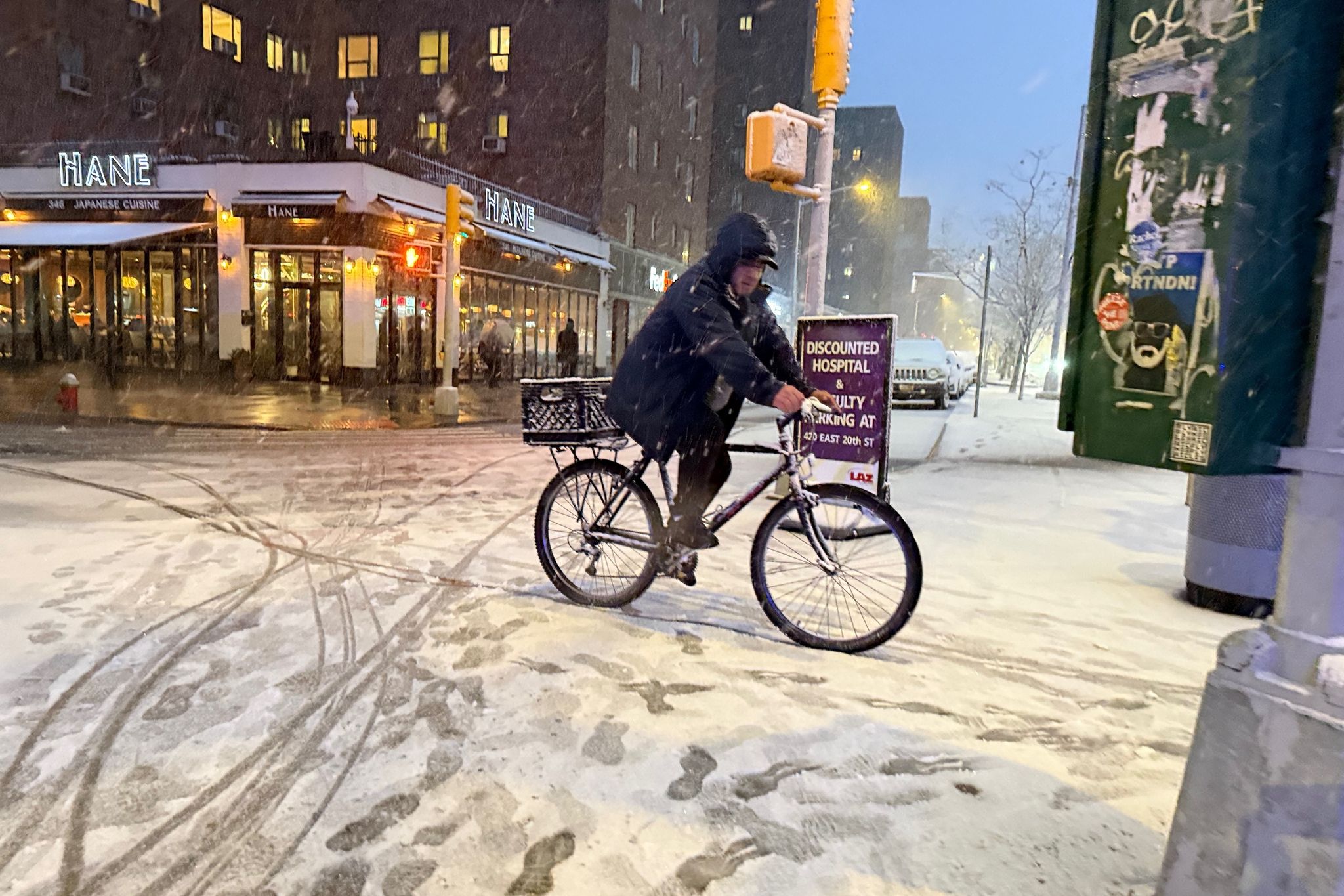
1 month agoNew York City declares state of emergency as it faces worst winter storm in a decade
New York City Mayor Zohran Mamdani declared a citywide state of emergency on Sunday in anticipation of a heavy snowstorm expected to last at least 36 hours, beginning Sunday night. The measures include a ban on road travel for trucks, cars, motorcycles and even bicycles because of dangerous blizzard conditions, and to keep the streets clear for essential services, such as the 700 salt spreaders already deployed on the streets. The road closures will also affect public transit connections to the neighboring state of New Jersey.
US politics
fromSilicon Canals
2 months agoThe one thing meteorologists wish people would stop doing before a winter storm hits - Silicon Canals
When I spoke with emergency management officials last year, they all mentioned the same frustrating scenario. People ignore storm warnings until the precipitation starts falling, then suddenly everyone rushes out at once. The roads become congested with anxious drivers, accidents spike, and stores run out of essentials just when people need them most. But here's what really gets meteorologists worked up about this pattern. Modern weather forecasting has become incredibly accurate, especially for major winter storms.
Public health
New York City
fromGothamist
1 month agoWinter of NYC discontent: Bummer blizzard comes just as filthy snow was melting away
A blizzard returned to New York City, prolonging winter disruptions, causing economic losses, strained services, dirty lingering snow, and residents stocking supplies or seeking bars.
fromsilive
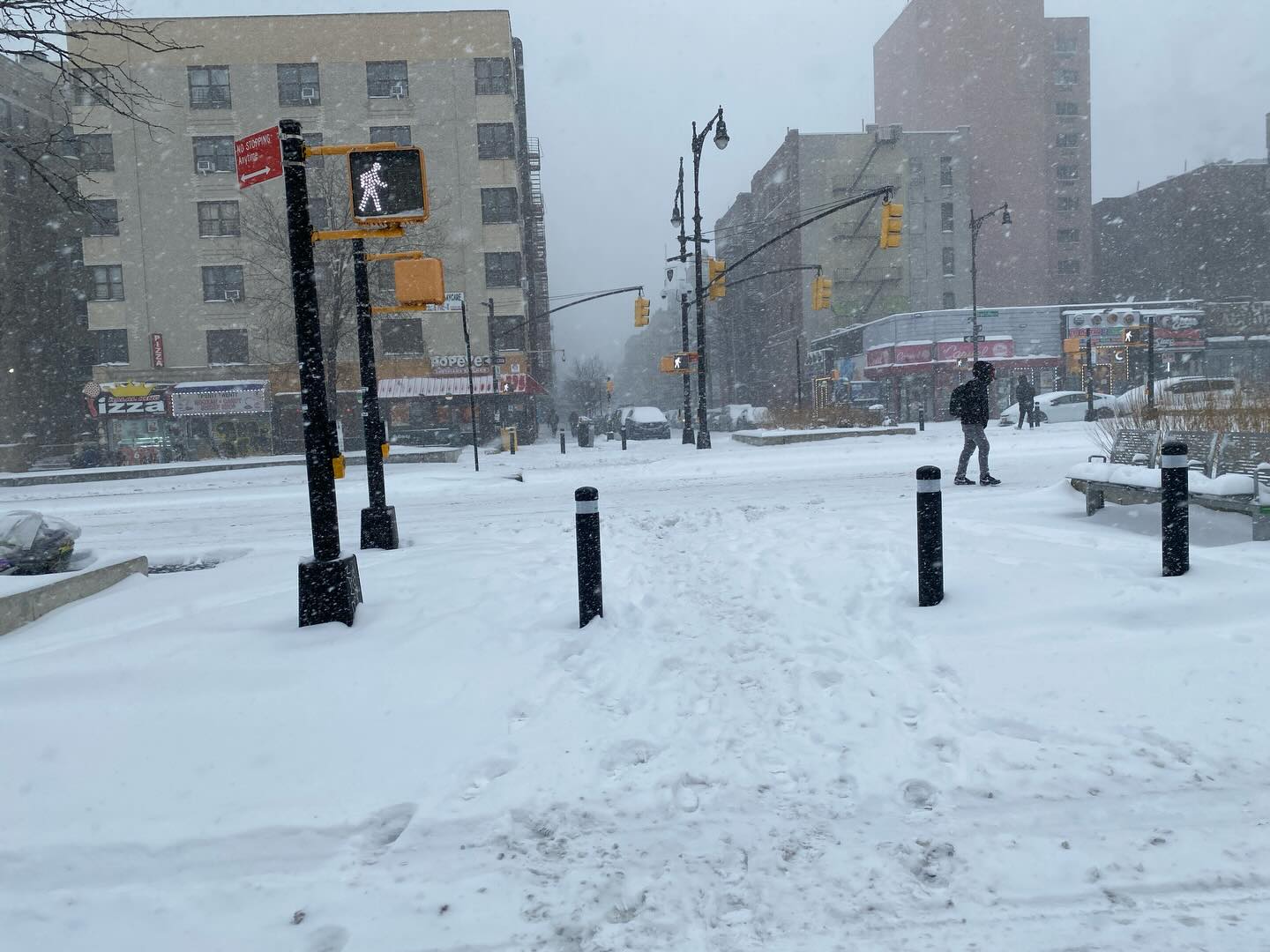
1 month agoN.Y. weather: Blizzard warning issued for NYC; here's latest on rising snow projections, whiteout conditions
Residents should prepare for the worst of the storm late Sunday night, when snowfall rates could exceed 2 inches per hour. The weather service believes the heaviest snow will come down from 7 p.m. Sunday through about 12 p.m. Monday. The snow is expected to develop Sunday morning and afternoon, possibly mixing with rain at the onset before tapering off late Monday morning into Monday afternoon.
New York City
fromTime Out New York
2 months agoIs another snowstorm headed for NYC this weekend?
Right now, forecast models are split. Some keep the storm far enough out to sea to spare New York City from snowfall but others show snow reaching coastal New Jersey and Long Island late Saturday into Sunday. A shift of just 50 to 100 miles in either direction could change everything, from rain versus snow to whether the city sees accumulation at all.
New York City
[ Load more ]