#air-pressure
#air-pressure
[ follow ]
#winter-storm #climate-change #bay-area-weather #extreme-weather #power-outages #weather-forecasting


fromwww.cbc.ca
13 hours agoIt may not feel like it, but warmer temperatures are right around the corner: meteorologist | CBC News
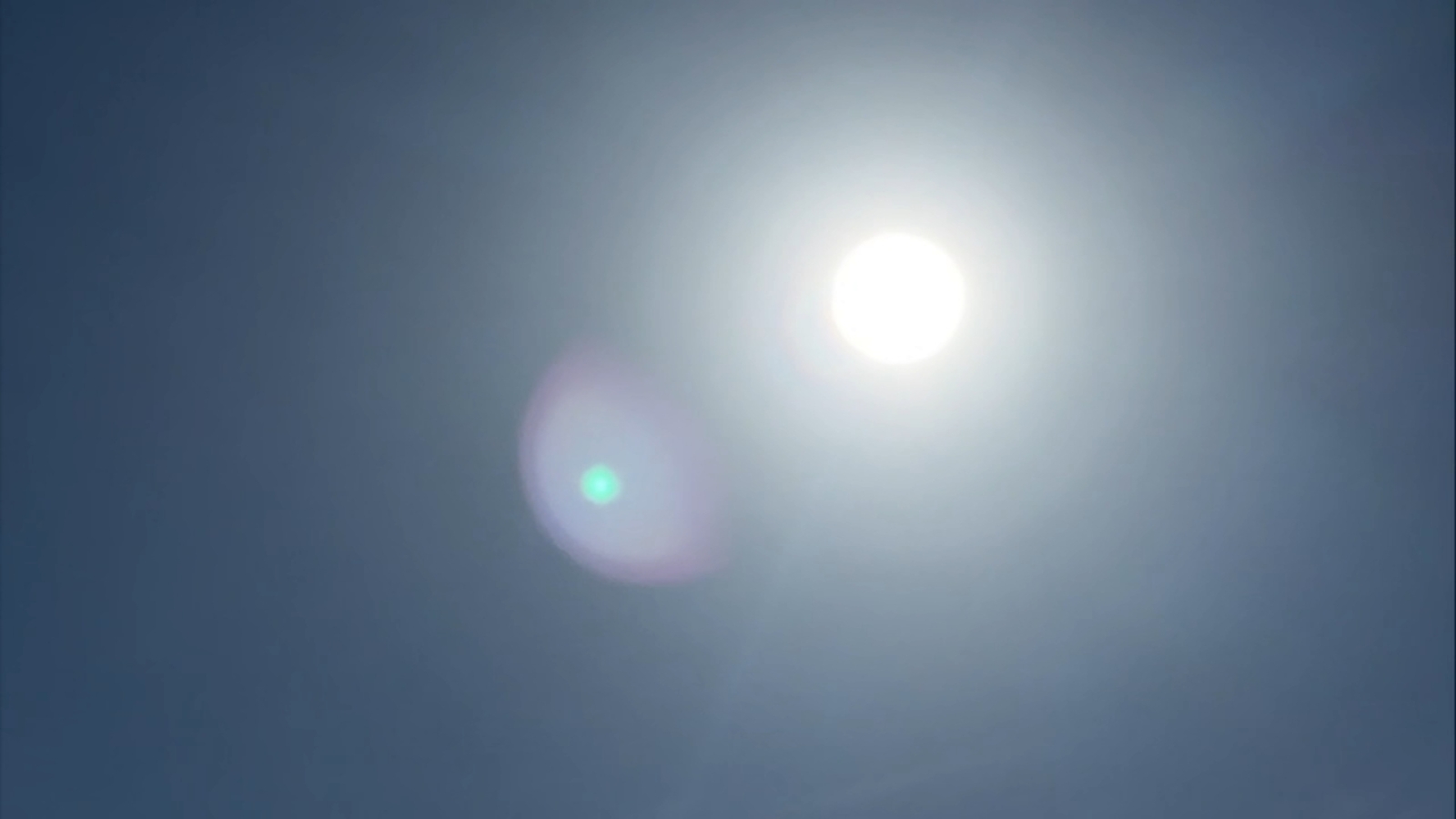
Kennedy predicts hot and dry conditions from the west will shift eastward later this week, allowing for a noticeable warm-up and shift towards spring-like conditions.
Canada news


fromFast Company
5 days agoSee it: Air temperatures and pollution around the world are captured in real time in these animated weather maps
We created Earth in Action to provide a lens into what's happening on our planet, as it happens. Whether it's something typical, like the current air temperature, or an extreme event like a major dust storm, we wanted to provide an opportunity for people to see them.
OMG science
fromwww.npr.org
3 weeks agoSnow and wind batter parts of US, with threat of thunderstorms and tornadoes
Successive punches of snow, wind and severe weather are "going to impact the eastern half of the United States," AccuWeather senior meteorologist Tyler Roys said in an interview. Beyond the threat to lives and property, "whether it's wind gusts from a squall line, blizzard or snow, or just wind because of the storm, you're looking at several major airports being impacted."
US news
#bomb-cyclone
Chicago
fromMail Online
3 weeks agoHazardous weather alert for 200 million as megastorm barrels across US
A powerful megastorm will sweep across the central US from Sunday to Monday, potentially becoming a bomb cyclone with blizzard conditions, severe thunderstorms, and widespread travel disruptions across major cities.
#march-heat-wave


Los Angeles
fromLos Angeles Times
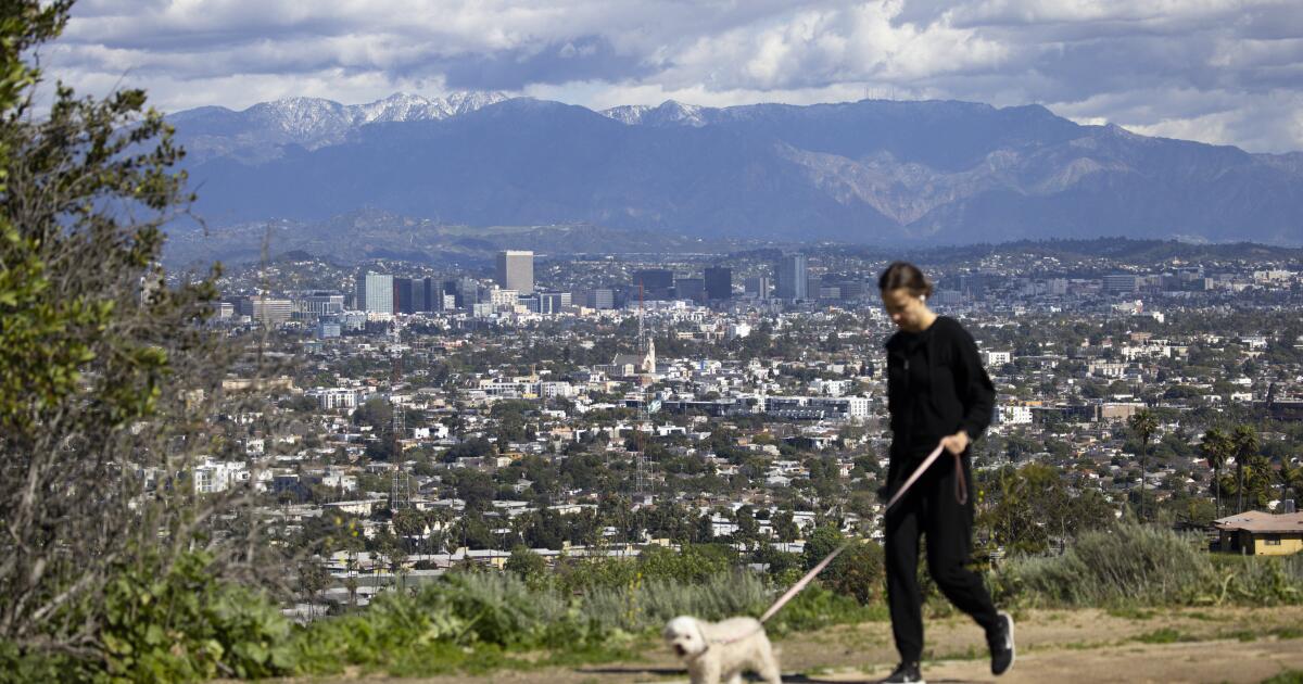
2 weeks agoDozens of temperature records shattered across SoCal as historic March heat wave sizzles on
Southern California experienced record-breaking temperatures exceeding 100 degrees across multiple cities during an unprecedented March heat wave, with conditions expected to persist through Friday.
California
fromABC7 San Francisco
3 weeks ago'Concerning': Bay Area sizzles in March heat wave, bringing fire danger and AC issues
An unprecedented March heat wave with record temperatures is straining Bay Area infrastructure, causing air conditioning systems to fail prematurely and raising wildfire concerns due to dry conditions.
#winter-storm


Canada news
fromwww.theguardian.com
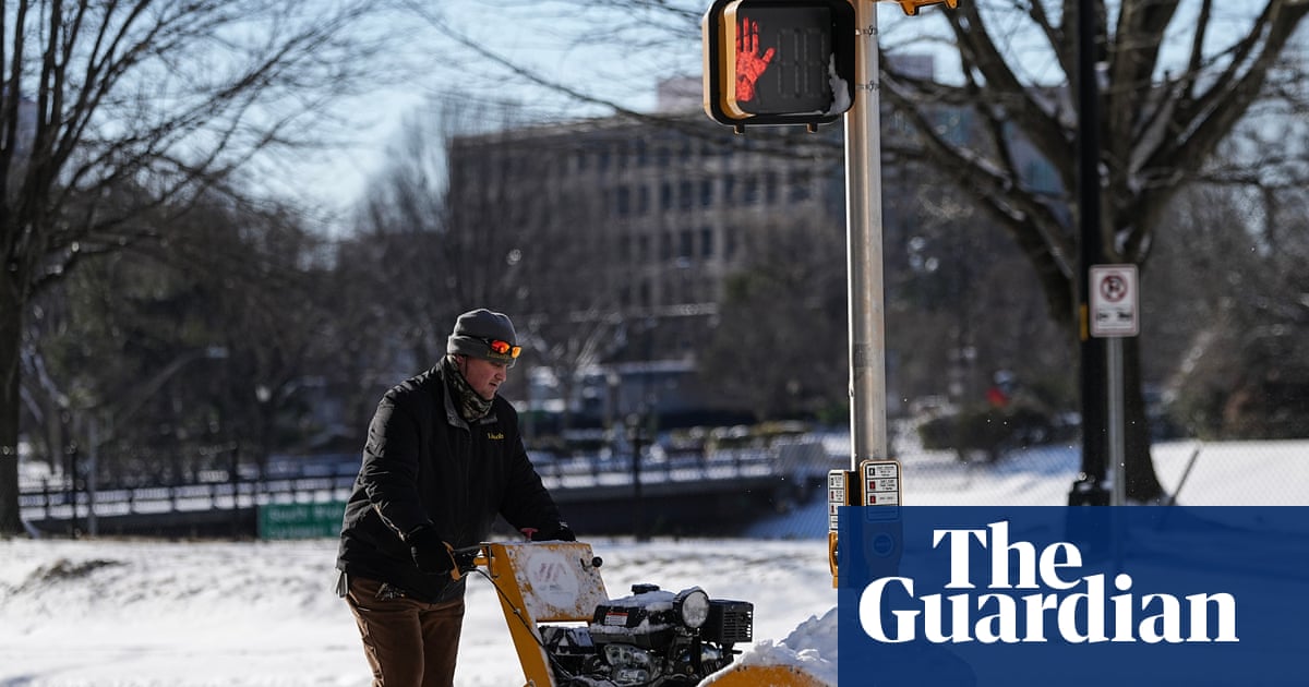
3 weeks agoWeather tracker: heavy snowfall and freezing rain sweep across US and Canada
A major winter storm is sweeping northeastern US and southeastern Canada, bringing heavy snow, freezing rain, strong winds, and a dangerous polar air mass with temperatures 10-25°C below seasonal average.
fromSnowBrains
4 weeks agoSnowBrains Forecast: Warm, Mostly Dry Pattern for Utah Through Friday - SnowBrains
Most resorts should see firm starts and softer afternoons through Monday, then a mostly moisture-starved cold front brings a brief cooldown, gusty west winds, and only spotty light snow before warmth rebuilds late week. Confidence is highest from Sunday morning, March 8, through Friday night, March 13, with next weekend still leaning warm and mostly dry but carrying a low-end chance of light snow in the far north.
Snowboarding
Miscellaneous
fromIrish Independent
1 month agoMet Eireann forecasts two consecutive days of 'dry and sunny' weather next week before return to rainy conditions
Daily rainfall has been recorded across the country throughout the year with continued precipitation expected through next month, causing extensive farmland flooding, while March temperatures are forecast to be 0.2-1.0°C above average.


Environment
fromFast Company
3 weeks agoWeather whiplash to sweep U.S. with simultaneous blizzard, polar vortex, and heat dome
Extreme weather is affecting nearly all U.S. regions simultaneously, including record heat in the Southwest, snow in the Great Lakes, Arctic cold in the Midwest and East, and heavy rain in Hawaii.
Science
fromNature
1 month agoThe first ice-core record of historical atmospheric hydrogen levels
Atmospheric hydrogen levels fluctuate with climate changes and have increased significantly since pre-industrial times due to human activities, requiring consideration in projections of future emissions impacts.


US politics
fromFuturism
2 months agoNational Weather Service Uses AI to Generate Forecasts, Accidentally Hallucinates Town With Dirty Joke Name
AI-generated weather graphics with hallucinated place names exposed staffing shortages and eroded public trust at the National Weather Service following major layoffs linked to DOGE.
fromwww.npr.org
2 months agoFAQ: What is wind chill, and why is it dangerous?
Wind chill is a measure of how quickly bodies lose heat when you combine low temperatures with high winds. And wind chill conditions can be dangerous. "The stronger the winds [and] the colder it is, the more likely you are to develop frostbite in a short amount of time or hypothermia," says Jessica Lee of the National Weather Service's Weather Prediction Center.
Public health
fromwww.standard.co.uk
2 months agoWhat is a weather bomb and will it impact London?
The Met Office has put two amber and seven yellow alerts in place for Thursday, with chief forecaster Neil Armstrong describing the system as a multi-hazard event combining heavy rain, powerful winds and snowfall. Storm Goretti, which was named by the French meteorological service, has also been labelled a weather bomb by the Met Office as it strengthens quickly over the Atlantic before tracking towards the UK and France.
London

fromZDNET
2 months agoForget your weather app: 15 reliable meteorologists and other sources for accurate ice storm updates
If you've ever glanced at your phone's weather app to check the day's forecast or to help plan for an upcoming storm, you've probably run across a scenario where you see an outrageous forecast. It happened to me earlier this week when I noticed my app was predicting more than 13 inches of snow for the Charlotte, NC area. Not only would that be a historic storm, but it would also be fairly apocalyptic for an area where even an inch of snow is a rarity.
Science
fromwww.npr.org
1 month ago'Please inform your friends': The quest to make weather warnings universal
In November 2025, a massive storm rolled across the lower Mekong River delta, dumping multiple inches of rain onto the wide, flat river plain that covers much of Cambodia. The river rose and rose. The force of the water churned up mud from the river bottom. The muddy water flowed downstream and rushed into the many farming and fishing towns that line the Mekong's banks.
US news
fromwww.scientificamerican.com
2 months agoWinter's next wallop includes a bomb cyclone and Florida freezing
Intensely cold air is scouring the central and eastern U.S. again and will send temperatures plummeting all the way to the tip of Florida. Along with this new Arctic incursion, a major bomb cyclone storm is strengthening off the coast of the Carolinas, potentially bringing rare blizzard conditions to the region. Some areas haven't seen this amount of accumulating snow in over 30 years, wrote the National Weather Service's office in Wilmington, N.C., on Facebook.
Science


fromWIRED
2 months agoNo One Is Quite Sure Why Ice Is Slippery
The reason we can gracefully glide on an ice-skating rink or clumsily slip on an icy sidewalk is that the surface of ice is coated by a thin watery layer. Scientists generally agree that this lubricating, liquidlike layer is what makes ice slippery. They disagree, though, about why the layer forms. Three main theories about the phenomenon have been debated over the past two centuries. Last year, researchers in Germany put forward a fourth hypothesis that they say solves the puzzle.
Science
fromwww.nature.com
2 months agoAtmospheric H2 variability over the past 1,100 years
Warwick, N., Griffiths, P., Keeble, J., Archibald, A., & Pyle, J. Atmospheric implications of increased Hydrogen use. GOV.UK https://www.gov.uk/government/publications/atmospheric-implications-of-increased-hydrogen-use (2022).
Environment
Environment
fromwww.mercurynews.com
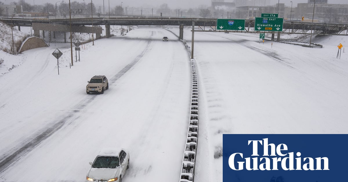
2 months agoMeteorologists blame a stretched polar vortex, moisture, lack of sea ice for dangerous winter blast
Warm Arctic waters and cold land are elongating the polar vortex, bringing subzero temperatures, heavy snow, and crippling ice across much of the United States.
fromThe Mercury News
1 month agoAnticipated rain will bring end to Bay Area's dry pattern
The pattern change began Monday when the barometric pressure surrounding the region started to fall gradually. That increase in low pressure is coming from the southwest and the air is flowing north, opposite of many winter low-pressure systems that dip in from the Pacific Northwest. As a result, light but steady rain is expected to start in Monterey County and the Central Coast late Tuesday morning. The rain is expected to reach the region closer to San Francisco sometime Tuesday night, Murdock said.
Environment
[ Load more ]