#geographical-names
#geographical-names
[ follow ]
fromFast Company
2 days agoSee it: Air temperatures and pollution around the world are captured in real time in these animated weather maps
We created Earth in Action to provide a lens into what's happening on our planet, as it happens. Whether it's something typical, like the current air temperature, or an extreme event like a major dust storm, we wanted to provide an opportunity for people to see them.
OMG science
Business intelligence
fromLondon Business News | Londonlovesbusiness.com
5 days agoWhy GIS matters in modern infrastructure and urban planning: Building smarter, future-ready cities - London Business News | Londonlovesbusiness.com
GIS is essential for effective urban planning, enabling data-driven decisions that enhance infrastructure and quality of life in rapidly growing cities.
fromArchDaily
1 week agoArchitectures of the Gaze: 25 Viewpoints for Experiencing the Landscape
Viewpoints are structures designed for observing the landscape from elevated positions. They act as devices that organize the gaze and establish a direct relationship between the body and the territory.
Philosophy
Arts
fromThe Art Newspaper - International art news and events
2 weeks agoNew book shows why physical maps have an important role to play in our digital world
A cartography professor discovered 96 historically significant maps in a forgotten university archive, revealing cartography's vital role in preserving sociopolitical memory and demonstrating maps' importance beyond navigation.
fromNature
2 weeks agoObserving the tidal pulse of rivers from wide-swath satellite altimetry - Nature
Along coastlines, where tides are typically magnified, they profoundly affect navigation, commerce, coastal flooding, water properties and sediment transport. Tides impact the flooding of rivers and, thus, influence the extent of their floodplain, which has cascading effects on biogeochemical and ecological processes.
Environment
Digital life
fromSilicon Canals
2 weeks agoThe generation that memorized phone numbers, gave directions using landmarks, and navigated by instinct built a relationship with the physical world that GPS and contact lists have made impossible to develop - and the thing they lost wasn't convenience, it was a form of spatial intelligence that made them participants in their environment instead of passengers - Silicon Canals
Reliance on digital navigation tools has diminished our spatial memory abilities and mental map-building skills, causing measurable changes in brain structure and cognitive function.
#google-maps


Artificial intelligence
fromTechCrunch
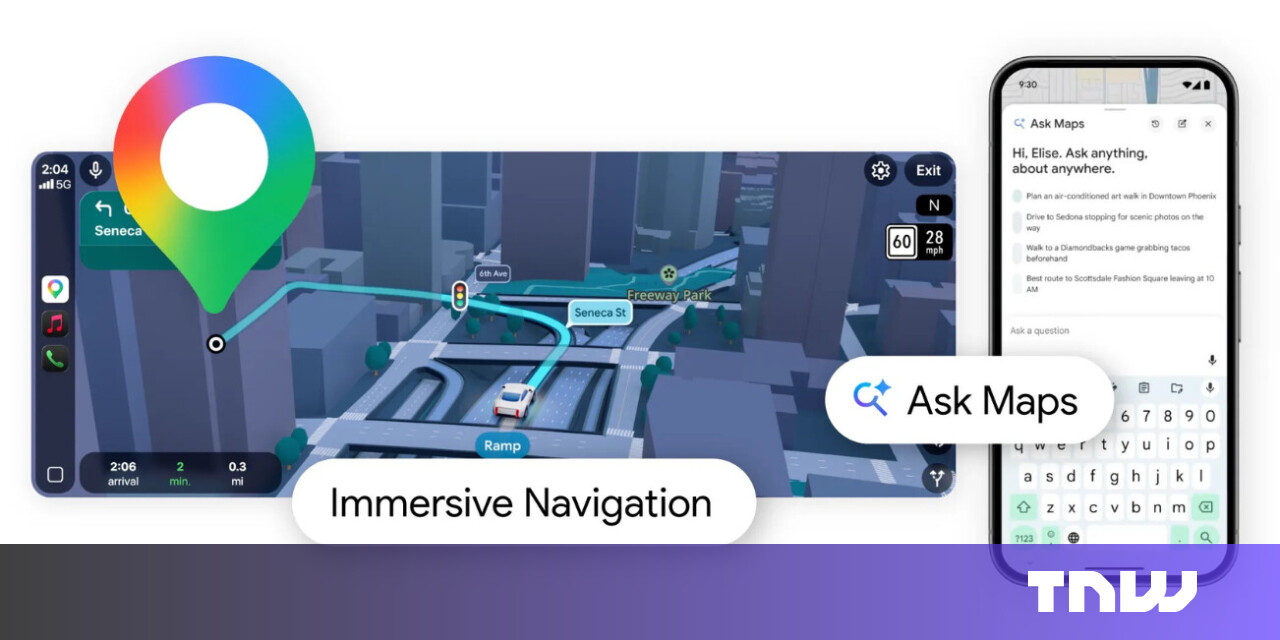
2 months agoGoogle Maps now lets you access Gemini while walking and cycling | TechCrunch
Google Maps now provides Gemini-powered hands-free conversational navigation for walking and cycling, enabling voice queries, multi-question conversations, and hands-free messaging while navigating.
Arts
fromOpen Culture
2 weeks agoEnchanting Video Shows How Globes Were Made by Hand in 1955: The End of a 500-Year Tradition
The first globe was created in 1492 by Martin Behaim and Georg Glockkendon, beginning a 500-year handmade tradition that continued until machines replaced manual production in the 20th century.
fromwww.dw.com
2 weeks ago'Vulnerable' satellites guide the world and its wars
Signals from Global Navigation Satellite Systems are quite vulnerable. They are exceptionally weak, meaning that any radio noise near their frequency, accidental or malicious, can interfere with reception. I am confident that there are people in every government who understand the problem. The challenge is getting leadership to both understand and act to reduce the risk.
History
fromSmithsonian Magazine
1 month agoHow to Fit 250 Years of American History and Culture Into One Map
Smithsonian magazine celebrates America's 250th birthday with an interactive map featuring 250 notable places across ten categories, while historians contextualize this anniversary amid current domestic challenges.
Business
fromHarvard Business Review
1 month agoRethinking Strategy in a Hyperpolitical World
Corporate decisions face intense public scrutiny for political implications, resulting in boycotts, revenue loss, reputational damage, and executive terminations, yet political engagement remains unavoidable for businesses.
fromwww.theguardian.com
1 month agoWays to Traverse a Territory review documenting an ancient and disappearing way of life
Here dwells the indigenous Tzotzil community which has kept a pastoral way of life against the march of time. Apart from the odd forest ranger and passerby, Ruvalcaba's film focuses almost entirely on the Tzotzil women. Together, they tend herds of sheep which they still shear by hand, and use traditional tools for spinning yarns and natural dye for fabrics.
Film


Data science
fromLondon Business News | Londonlovesbusiness.com
2 months agoIs Maptive the best mapping software to conduct complex spatial analysis - London Business News | Londonlovesbusiness.com
Maptive delivers cloud-based, no-code spatial analysis and mapping that handles large datasets, automated territories, route planning, and enterprise-grade global mapping infrastructure.
Brooklyn
fromBrooklyn Eagle
1 month agoPREMIUM Women have been mapping the world for centuries, and now they're speaking up for the people left out of those maps
Women historically contributed to mapping but were overlooked; geospatial technologies and GIS expanded education, employment and research opportunities, increasing women's access to mapmaking.
fromwww.kaltblut-magazine.com
2 months agoTerrain
The body is a shifting landscape transformed by surfaces and sensations. Each look captures a different tactile world: the heat of blood, the cool weight of metal, the yielding drift of water. The result is a sculptural study of how the elements carve, shield, and release the self. The materials we embody become the emotions we carry, and the body becomes a materialised exhibition of our emotions, from the pulse of Blood to the discipline of Metal to the surrender of Water.
Fashion & style
Software development
fromBusiness Matters
2 months ago5 Reasons Why Maptive is The Best GIS Platform for Location Intelligence
Maptive transforms spreadsheet location data into fast, browser-based interactive maps and optimized routes, delivering accessible location intelligence without specialized GIS expertise.
fromArchDaily
2 months agoUnearthing the Ground: Architecture and the Politics of the Subterranean
Beneath the visible surface of cities lies an invisible architecture. Subways, tunnels, water systems, data cables, and bunkers form a dense network that sustains urban life while remaining largely unseen. The ground beneath our feet is not a void but a complex territory that holds the infrastructures, memories, and anxieties of our age. In recent years, as land becomes scarce and climate pressures intensify, architects and urbanists have turned their gaze downward, rediscovering the subterranean as both a physical and conceptual frontier.
Design
fromSlate Magazine
2 months agoWhy Does Greenland Look So Big on the Map?
If you did this, you were probably struck by one thing above all else: Greenland is huge. Freaking huge. It looks about twice as big as the U.S., roughly as big as North America and Central America combined. And despite the public waffling between saying we need it for its military or natural resource offerings, this is probably the reason Trump wants it.
US politics
fromInside Higher Ed | Higher Education News, Events and Jobs
2 months agoWe Need to Revitalize Area Studies (opinion)
Just before winter break, news broke that the University of North Carolina at Chapel Hill plans to close its centers for African, Asian, European, Middle Eastern, Latin American and Slavic, Eurasian and East European studies. Though UNC administrators said in a statement that decisions on closures are not finalized, they confirmed they are evaluating centers and institutes as part of a budget-cutting effort in response to state and federal funding changes.
Higher education
fromArchDaily
1 month agoHealth, Habitat, and Civic Infrastructure: Designing the City as a National Park
Cities around the world share a common goal: to become healthier and greener, supported by civic infrastructure that restores ecosystems and strengthens public life. The question is how to reach this. Global climate targets, local building codes, and municipal standards increasingly guide designers and planners toward better choices. Still, many cities struggle to translate these frameworks into everyday, street-level comfort and long-term ecological protection.
Environment
fromMedium
2 months agoWhy Does Using AI Feel Like Cheating when It's Actually Like Google Maps?
AI, like Google Maps, provides the "prediction" of the best route, but the "judgement" of the destination remains with the driver (Author x Gemini) Yet when it comes to using AI for decisions, I see people paralysed by exactly these fears. This ranges from choosing what to study to planning a career move to even planning an article. "Is this cheating?" "Will I lose my critical thinking skills?" or "Am I even thinking for myself anymore?"
Artificial intelligence
fromArchDaily
1 month agoMoving Capitals Across Global Contexts: From Strategic Planning to Environmental Necessity
Across history, the relocation of capital cities has often been associated with moments of political rupture, regime change, or symbolic nation-building. From Brasília to Islamabad, new capitals were frequently conceived as instruments of centralized power, territorial control, or ideological projection. In recent decades, however, a different set of drivers has begun to shape these decisions. Rather than security or representation alone, contemporary capital relocations are increasingly tied to structural pressures such as demographic concentration, infrastructural saturation, environmental risk, and long-term resource management.
World news
[ Load more ]