#ice-glazing
#ice-glazing
[ follow ]
#winter-storm #power-outages #freezing-rain #flooding #climate-change #travel-disruption #snowpack #weather


fromFast Company
2 days agoSee it: Air temperatures and pollution around the world are captured in real time in these animated weather maps
We created Earth in Action to provide a lens into what's happening on our planet, as it happens. Whether it's something typical, like the current air temperature, or an extreme event like a major dust storm, we wanted to provide an opportunity for people to see them.
OMG science
fromABC7 San Francisco
6 days agoBay Area weather radar network aims to improve storm forecasting, flood prep and drought planning
"This is going to help fill that gap in minutes to hours lead time that's vital to know where the heaviest rain is going to hit," Ralph said. "And when and what communities are going to be affected so people in the preparedness community and water resource management community can take action to help protect people's lives and property."
San Francisco


#toronto-weather
Canada news
fromwww.cbc.ca
4 weeks agoToronto under special weather statement with rain expected to melt 'much of the snowpack' | CBC News
Toronto will receive 15-25mm of rain Friday evening through Saturday evening, causing significant snowmelt and potential flooding in low-lying areas due to frozen ground's reduced absorption capacity.
Canada news
fromwww.cbc.ca
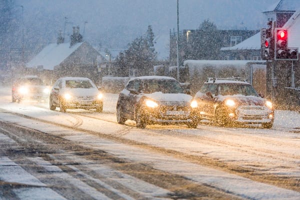
2 weeks agoWinter's not ready to go: Snow, freezing rain forecasted across GTA Sunday | CBC News
The Greater Toronto Area will experience up to six centimetres of snow and freezing rain on Sunday with easterly winds gusting up to 70 kilometres per hour, creating hazardous conditions and possible power outages.
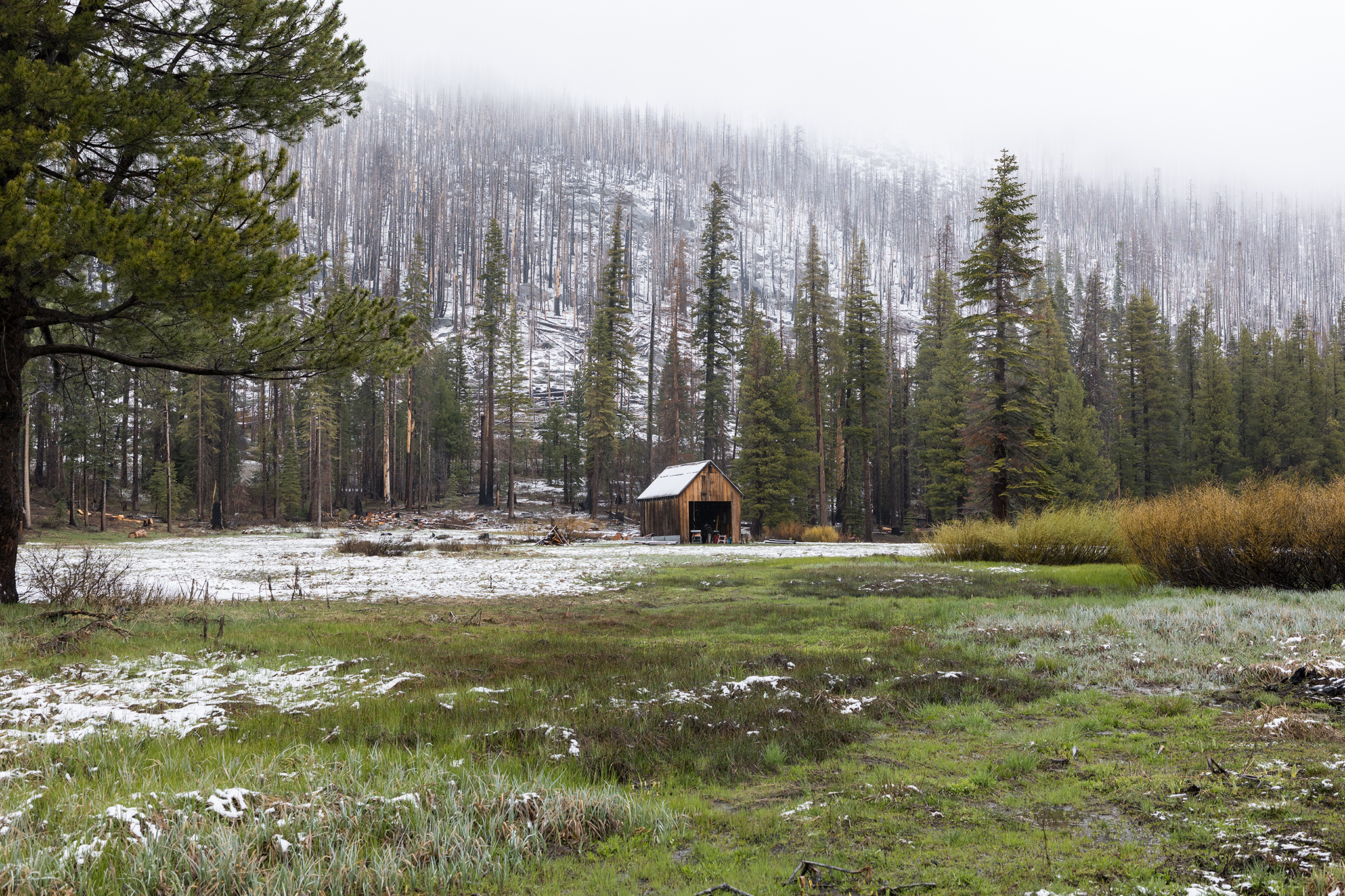
#winter-storm


Canada news
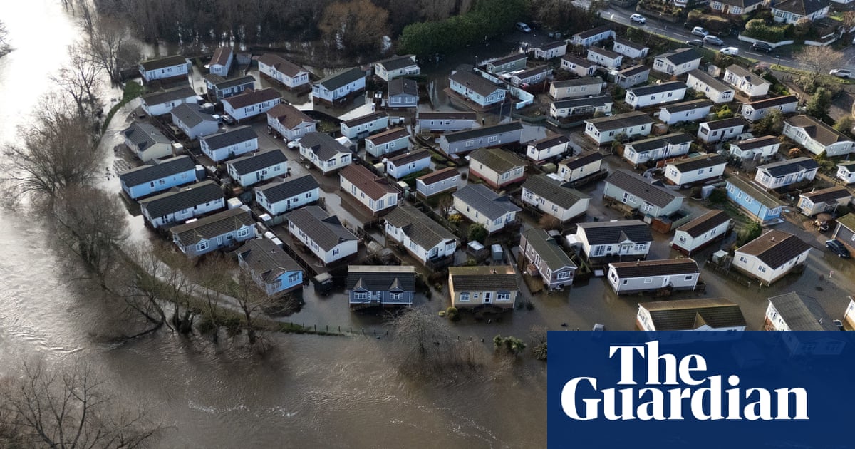
fromwww.theguardian.com
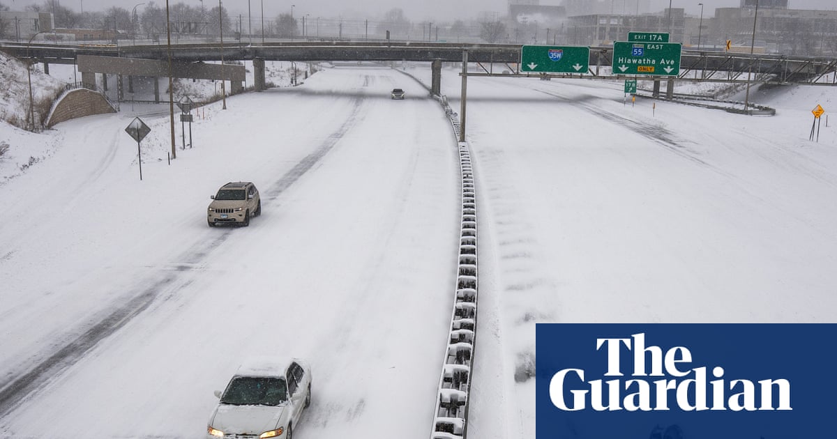
2 weeks agoWeather tracker: heavy snowfall and freezing rain sweep across US and Canada
A major winter storm is sweeping northeastern US and southeastern Canada, bringing heavy snow, freezing rain, strong winds, and a dangerous polar air mass with temperatures 10-25°C below seasonal average.
fromwww.cbc.ca
3 weeks agoMississauga monitoring flood risk after high levels of melting snow, rain | CBC News
The winter we had this year, it was colder than last year, so the snow held more water. That water ends up in our waterways. Mississauga is home to many bodies of water, including rivers, lakes, stormwater ponds and Lake Ontario, which increases flooding especially this time of year.
Canada news
fromwww.theguardian.com
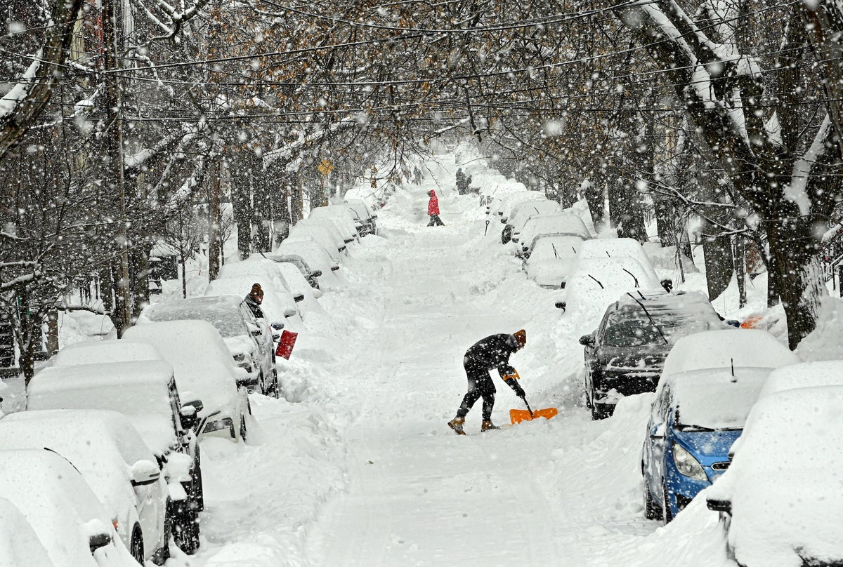
3 weeks agoToronto's snow mountains: towering peaks that refuse to melt and leave a toxic trail
In late January, Toronto was hit with what many experts said was the heaviest single day of snowfall in the city's history. In some spots, nearly 23in fell, driven in part by a collision of weather systems. The city had already removed 264,000 tonnes of snow from 1,100 km (680 miles) of roads, sidewalks and bike lanes by mid-February.
Canada news
fromwww.cbc.ca
3 weeks agoRecord-breaking warm temperatures, heavy rainfall in parts of Ontario cause road issues | CBC News
The temperature at the Toronto airport reached a high of 17.6 C on Saturday, breaking an old record for March 7 of 17.2 C that was set in 1860. It says a weather station in the St. Catharines area recorded a high temperature on Saturday of 20.3 degrees, while further north in Wiarton, more than 40 millimetres of rain was recorded.
Canada news
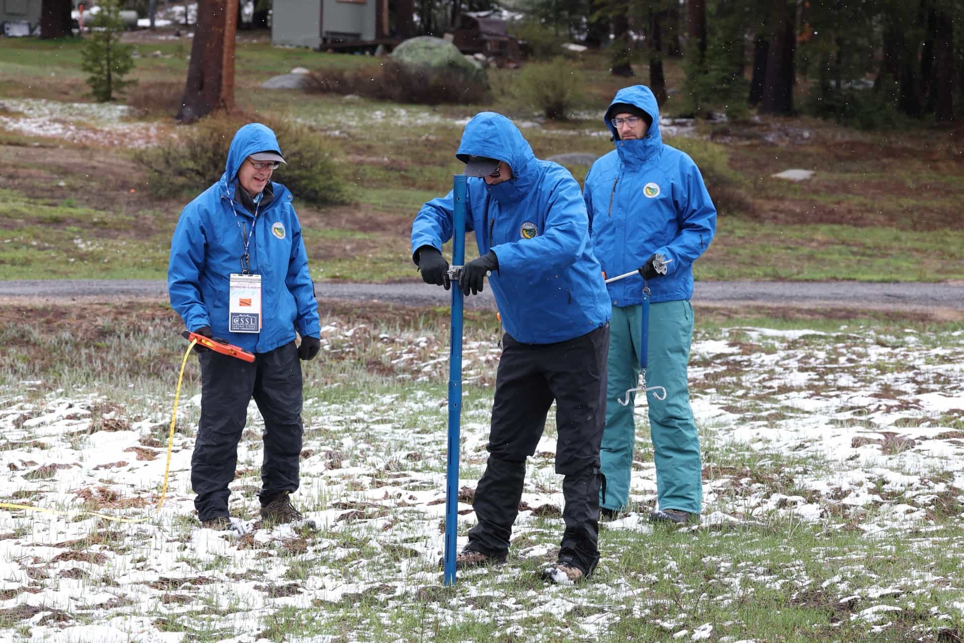
California
fromwww.mercurynews.com
1 month agoOn Monday, first of three rainstorms brings Bay Area a solid soaking, minor flooding
Three consecutive storm systems brought steady rain, minor flooding, and cooler temperatures across the Bay Area with heaviest totals in the North Bay and coastal mountains.
Snowboarding
fromSnowBrains
1 month agoSnowBrains Forecast: Wet Early Snow Then Variable Conditions for Colorado - SnowBrains
Mountain snowfall peaks through Thursday with heavy wet snow and strong winds, followed by uncertain lighter accumulations and a return to warmer, quieter conditions by the weekend.
fromSilicon Canals
1 month agoThe one thing meteorologists wish people would stop doing before a winter storm hits - Silicon Canals
When I spoke with emergency management officials last year, they all mentioned the same frustrating scenario. People ignore storm warnings until the precipitation starts falling, then suddenly everyone rushes out at once. The roads become congested with anxious drivers, accidents spike, and stores run out of essentials just when people need them most. But here's what really gets meteorologists worked up about this pattern. Modern weather forecasting has become incredibly accurate, especially for major winter storms.
Public health
France news
fromwww.theguardian.com
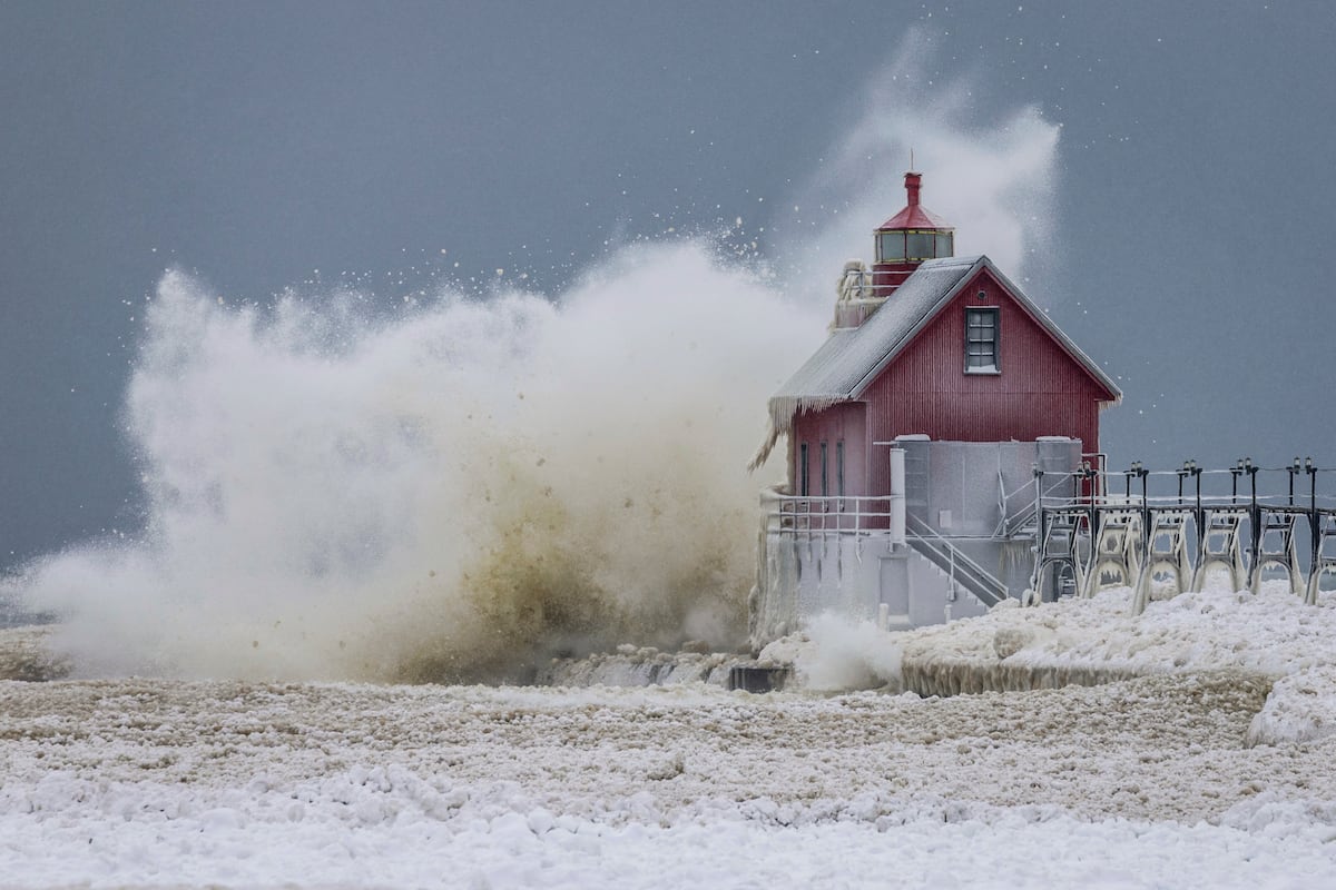
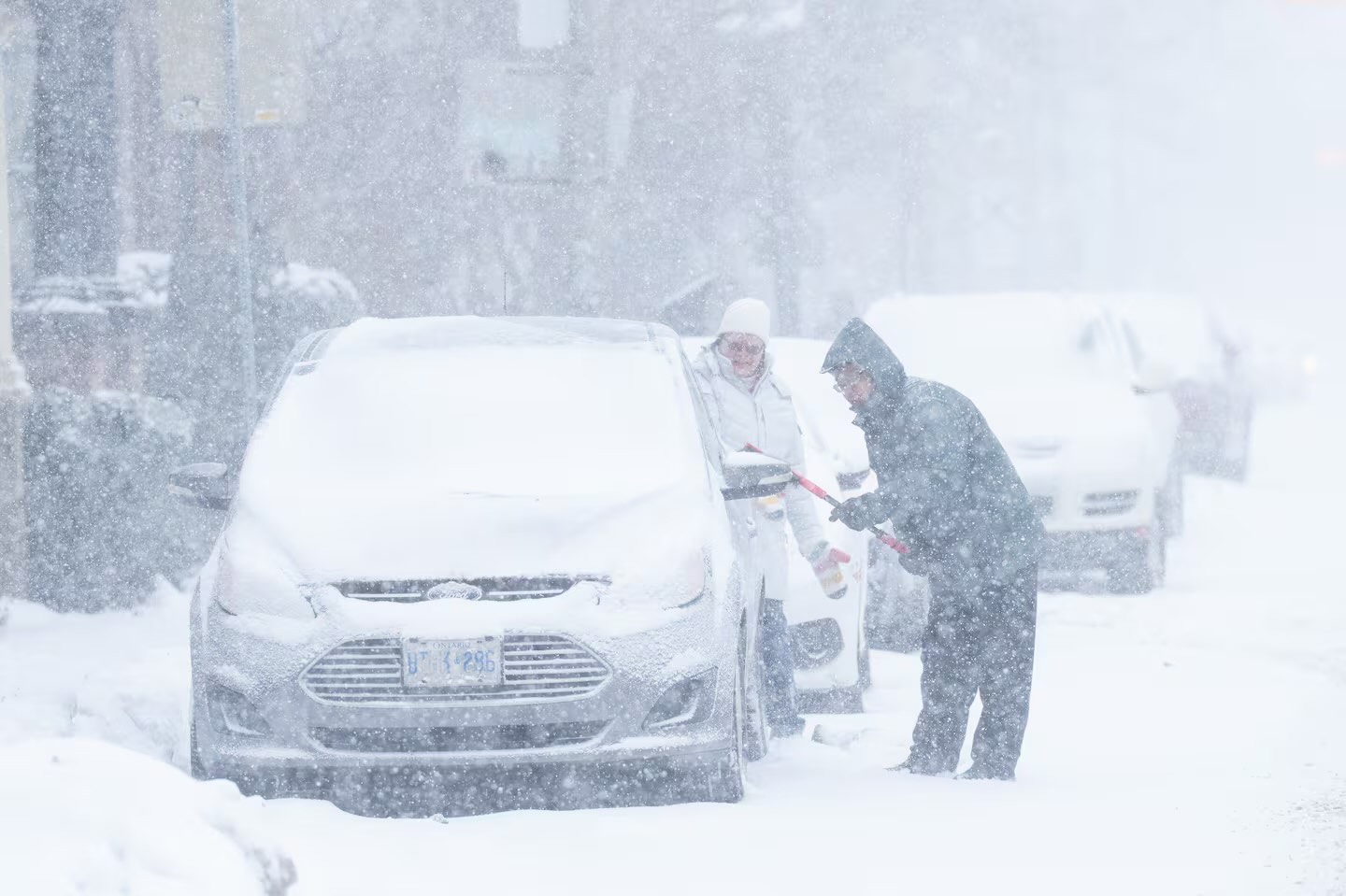
2 months agoSix people die as snow, ice and freezing temperatures wreak havoc in Europe
Severe winter weather across Europe caused at least six deaths, heavy snowfall, subzero temperatures, widespread travel disruptions, airport closures, and suspended rail services.


fromwww.standard.co.uk
2 months agoAnger rises over ungritted pavements and cycle paths amid icy weather - as London council says it's not worth it
One commuter based in Islington, North London, wrote on social media: 397 a month council tax and they can't even put a bit of grit in the roads. Death trap out there today. Simon O' Farrell from Richmond added: Disgraceful lack of gritting around Whitton. Roads and pavements icy. People sliding around all over the place. It's winter, it's icy. We pay a fortune for council tax. Get on with it! Atrocious ice in SW London. Main high street almost impossible to walk on. Useless councils, said another. The Councils in London are not even bothered about gritting the roads after a snowy morning. All the pathways and main roads are filled with ice all day. That's a disaster waiting to happen, another added.
UK news
fromWIRED
2 months agoNo One Is Quite Sure Why Ice Is Slippery
The reason we can gracefully glide on an ice-skating rink or clumsily slip on an icy sidewalk is that the surface of ice is coated by a thin watery layer. Scientists generally agree that this lubricating, liquidlike layer is what makes ice slippery. They disagree, though, about why the layer forms. Three main theories about the phenomenon have been debated over the past two centuries. Last year, researchers in Germany put forward a fourth hypothesis that they say solves the puzzle.
Science

Environment
fromIntelligencer
2 months agoThunder Ice to Exploding Trees: A Glossary of Scary Winter Storm Terms
A winter storm will bring thunder-driven freezing precipitation (thunder-ice/thunder-sleet) across the Mississippi River Valley while an extreme cold snap risks tree explosions in the Midwest.
Environment
fromLondon Business News | Londonlovesbusiness.com
1 month agoSnow, ice and flood warnings issued - London Business News | Londonlovesbusiness.com
Yellow warning for snow and ice across eastern UK and Scotland; 70+ flood alerts, travel disruption likely, and up to 10–15cm snow on higher ground.
fromIrish Independent
1 month agoSevere flooding disruption as forecasters issue last-minute rain warning; winter to bite hard as ice, frost and snow due in coming days
"It will prove cold with some frost and ice in places on Friday morning, especially in the west and north," she said. "Munster and south Leinster will see cloud, but that will clear to leave dry and sunny conditions with a few isolated showers in the north and highest temperatures of 3C to 7C," she said. Friday night will prove mainly dry but very cold and frosty with some icy patches.
Environment
fromwww.cbc.ca
2 months agoSnowfall warning in effect for Toronto with 'challenging' travel conditions expected | CBC News
Toronto is under a yellow snowfall warning with 10 centimetres of snow expected to affect the morning and evening commute on Wednesday. An Alberta clipper, a low pressure system, is forecast to bring the snow starting Wednesday morning and easing in the afternoon, Environment Canada said in the warning issued late Tuesday afternoon. Visibility could be poor at times if the snow is heavy or blowing, the agency says.
Canada news
Environment
fromLondon Business News | Londonlovesbusiness.com
2 months agoMet Office issues further snow and ice warnings - London Business News | Londonlovesbusiness.com
Arctic airmass will keep the UK very cold with widespread snow, ice, hail, weather warnings and temperatures plunging below −10°C in places.
Environment
fromwww.mercurynews.com
2 months agoMeteorologists blame a stretched polar vortex, moisture, lack of sea ice for dangerous winter blast
Warm Arctic waters and cold land are elongating the polar vortex, bringing subzero temperatures, heavy snow, and crippling ice across much of the United States.
[ Load more ]