#snowmaking--natural-snow
#snowmaking--natural-snow
[ follow ]
#skiing #weather #ski-resorts #snowpack #snowfall #climate-change #ski-season #spring-skiing #colorado #vail-resorts


California
fromsfist.com
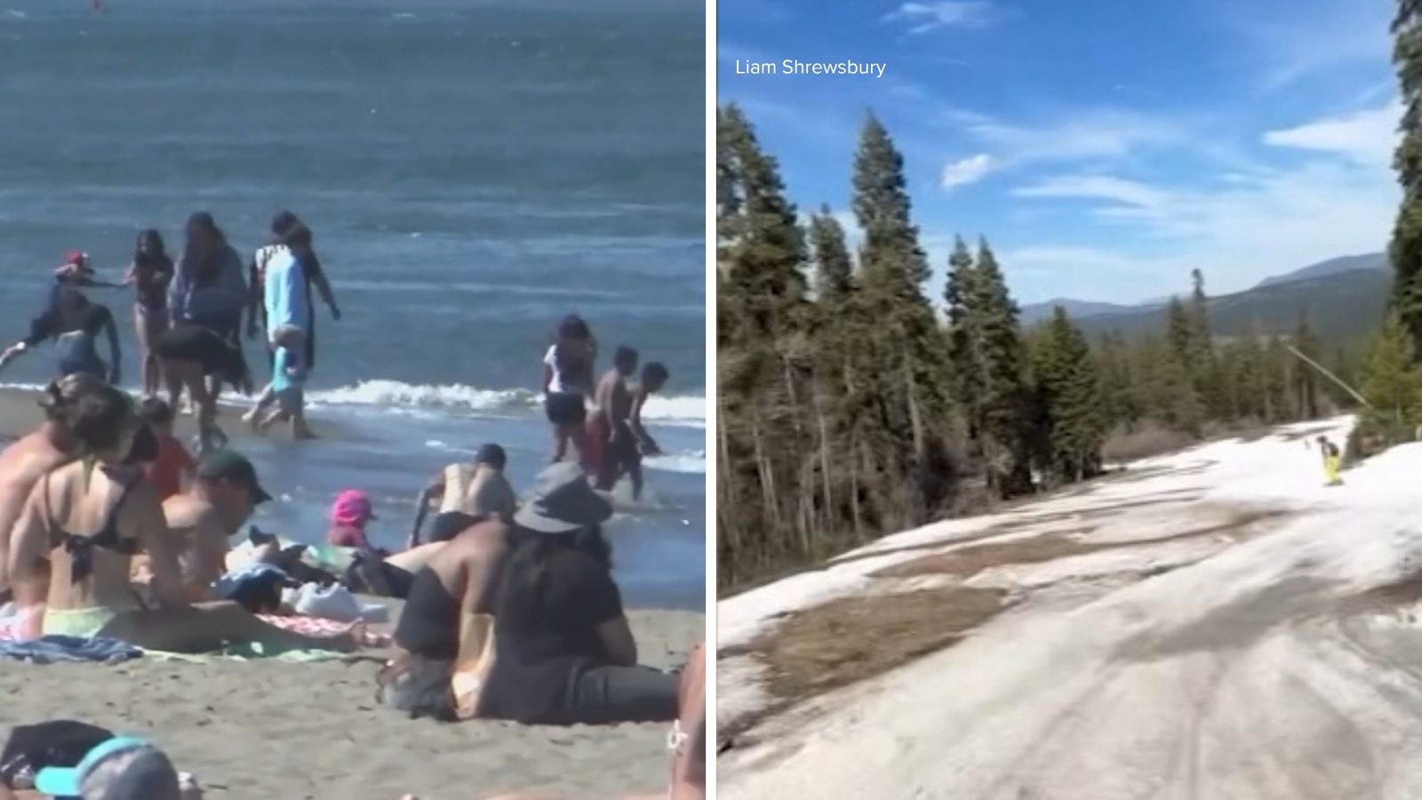
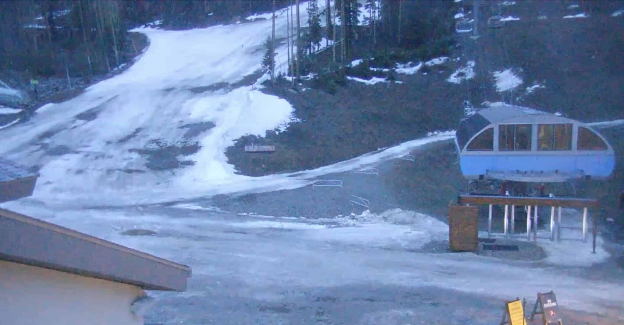
2 weeks agoThursday Morning What's Up: Ski Resorts Calling It Early Amid Snowmelt
Northern California ski resorts are closing early due to rapid snowmelt and warm temperatures, while regional political and business developments include SFPD pay increases, minimum wage ballot initiatives, and billionaire-backed gubernatorial campaigns.


Snowboarding
fromSnowBrains
15 hours agoMont-Sainte-Anne, QC, Set to Start the Resort's Biggest Infrastructure Investment in Nearly 40 Years - SnowBrains
Mont-Sainte-Anne is set to receive a CAD 100 million investment to revitalize its infrastructure and reclaim its status as Eastern Canada's top ski resort.


fromUnofficial Networks
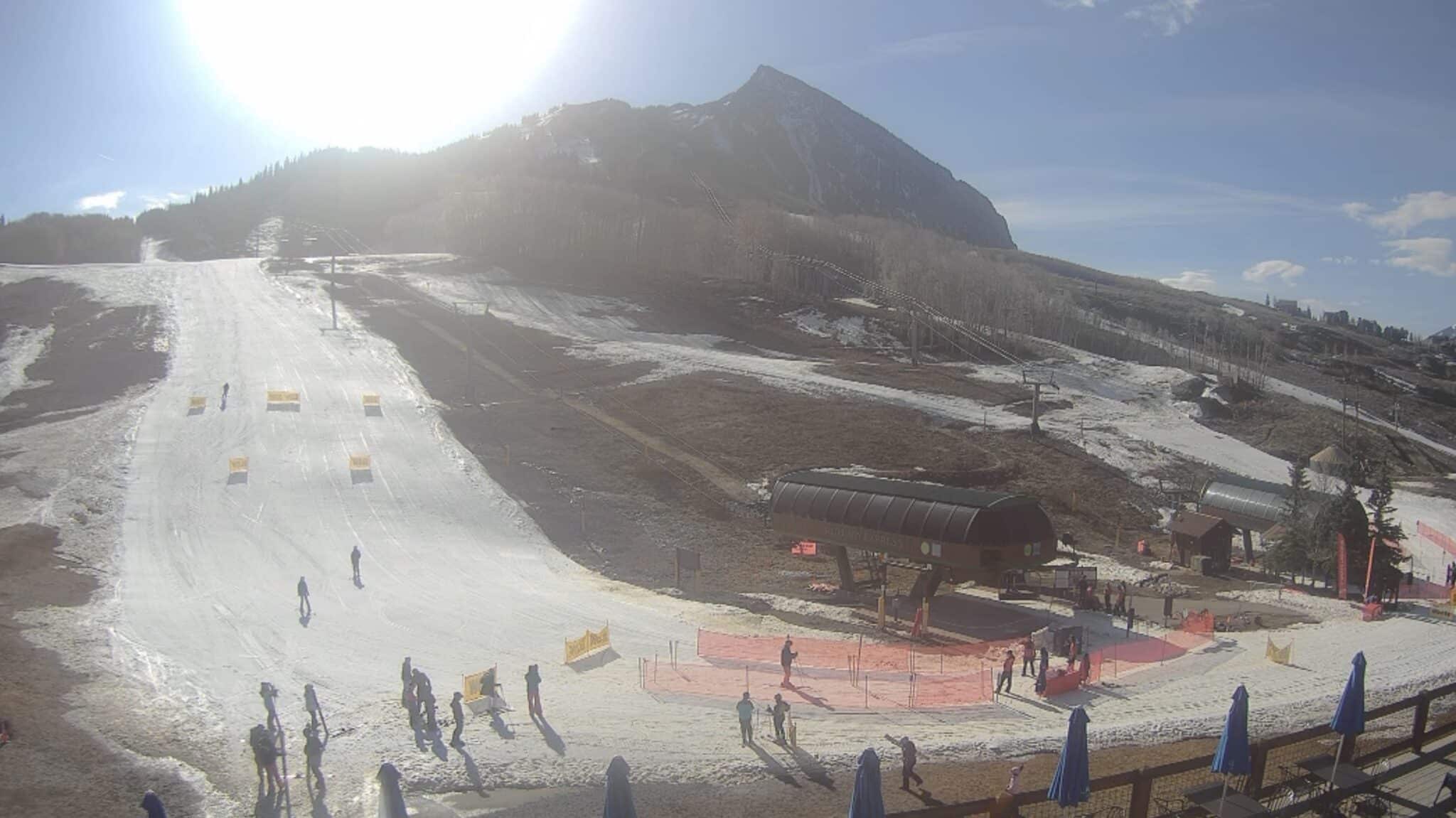
2 days agoYet Another Colorado Ski Resort Is Wrapping Things Up Early This Weekend
"As we wrap up the season, I want to thank our loyal guests who showed up smiling day in and day out to support their local hill. I also want to thank our dedicated staff whose immense efforts and pride in their work kept Eldora running all season long. We hope everyone comes to celebrate the season with us this weekend." - Andrew Gast, Eldora's president and general manager.
Snowboarding
fromSnowBrains
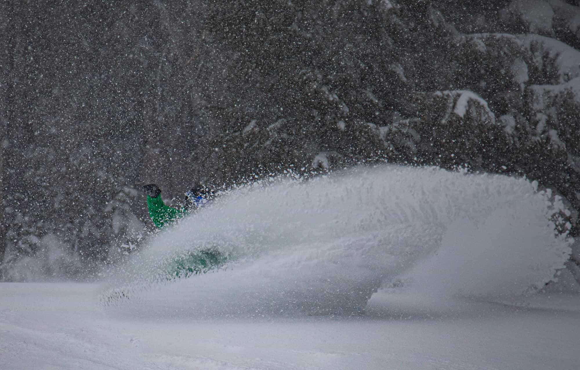
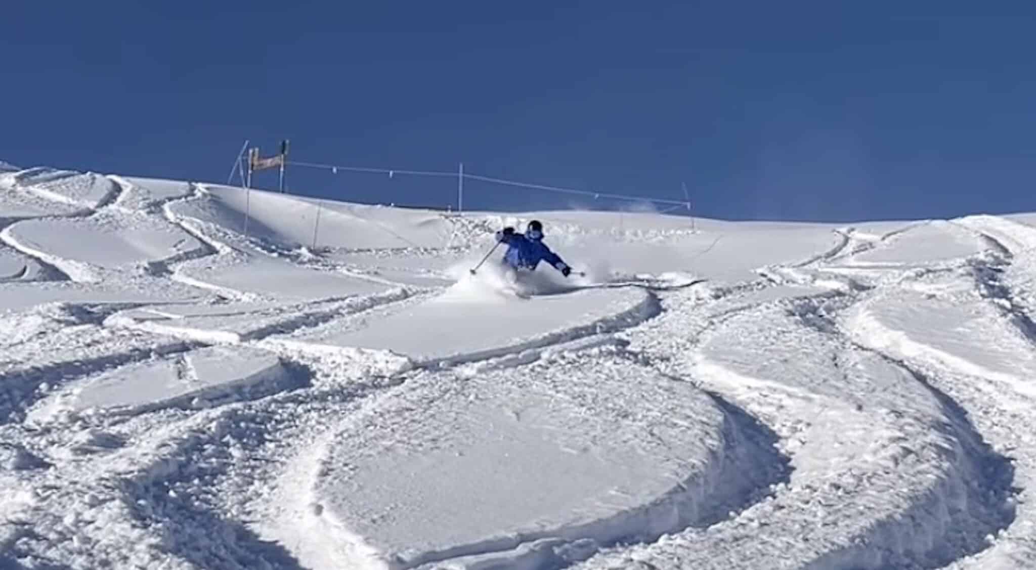
2 days agoLate Season Storm Brings Welcome Conditions Refresh to Mt. Rose Ski Tahoe, NV - SnowBrains
"We're always glad to welcome winter back, and this latest round of snow has ensured there are still great turns to be had as our spring season continues. Late season powder days are a bonus, and with the spring events and deals we have planned, it's not too late to get up here for some great skiing and riding!" - Mike Pierce, Marketing Director, Mt. Rose Ski Tahoe
Snowboarding
fromSnowBrains
3 days agoSnowBrains Forecast: 5-10 Inches for Utah Through Friday - SnowBrains
Thursday into Friday will see the best agreement in the forecast, with a fast cold front sweeping across northern Utah, leading to a significant drop in snow levels and strong winds. Snow will start dense, with snow-to-liquid ratios improving overnight.
Snowboarding
fromTravel + Leisure
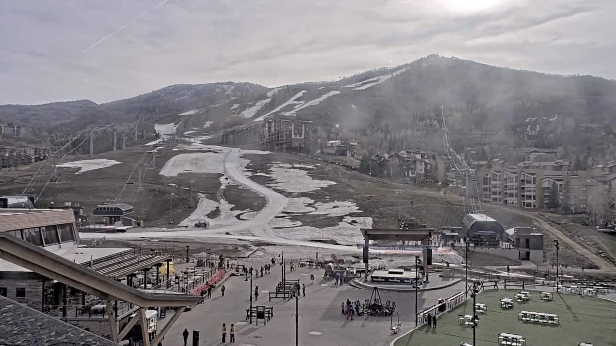
1 month agoPark City's Ski Season Is Off to Its Driest Start in Years-But There's Still Snow at the Top
Park City, Utah, one of the West's most beloved ski destinations, is having an unusually difficult season. For a state that prides itself on its snow, 2026 has started on an unexpectedly thin note. By this point in winter, rooftops are typically glazed in white and aspen groves disappear beneath Utah's signature "champagne powder." This year, that familiar scene is missing.
Environment

fromSnowBrains
2 weeks agoWhere Will it Be Deep This Week? These are the Top 5 Forecasted Resorts in North America for the Next 10 Days - SnowBrains
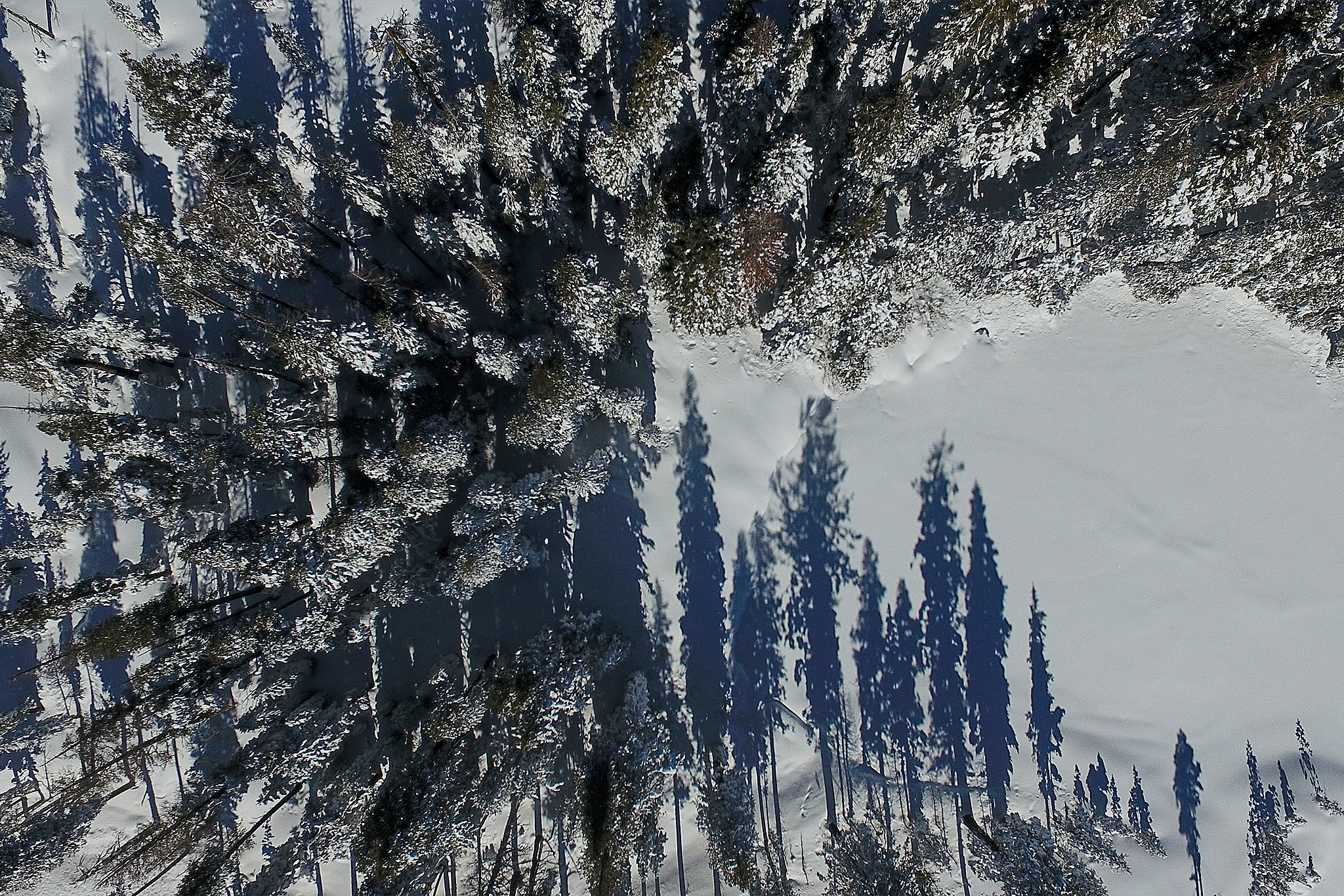
Fresh snow is what turns ordinary runs into powder days, and every skier knows the thrill of waking up to see a few extra inches (or feet) on the mountain report.
Snowboarding
Snowboarding
fromSnowBrains
2 weeks agoSnowBrains Forecast: Springlike, Mostly Dry Pattern for Colorado Through Sunday - SnowBrains
Colorado ski resorts face warm, dry spring conditions through Sunday with afternoon temperatures in the upper 40s to 60s, minimal snowfall, and periodic ridge winds of 25-40 mph.
Snowboarding
fromSnowBrains
3 weeks agoSnowBrains Forecast: Quick 5-10 Inches for Parts of Colorado This Weekend, Then Warm and Dry - SnowBrains
Colorado ski areas face warm, windy conditions through Saturday, followed by a modest snow refresh Saturday night favoring northern and central mountains, then warming returns next week.

Snowboarding
fromUnofficial Networks
1 month agoJay Peak Is Still Beating Alaska: Top 5 U.S. Snowfall Totals This Season
Jay Peak Resort in Vermont leads U.S. ski resorts with 353 inches of snowfall this season, followed by Mt. Baker in Washington with 352 inches, marking an unusual distribution of snow across typical and atypical resorts.
fromSnowBrains
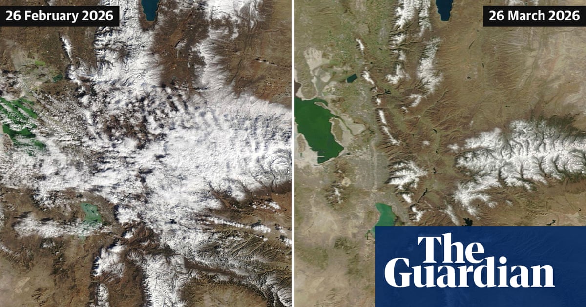
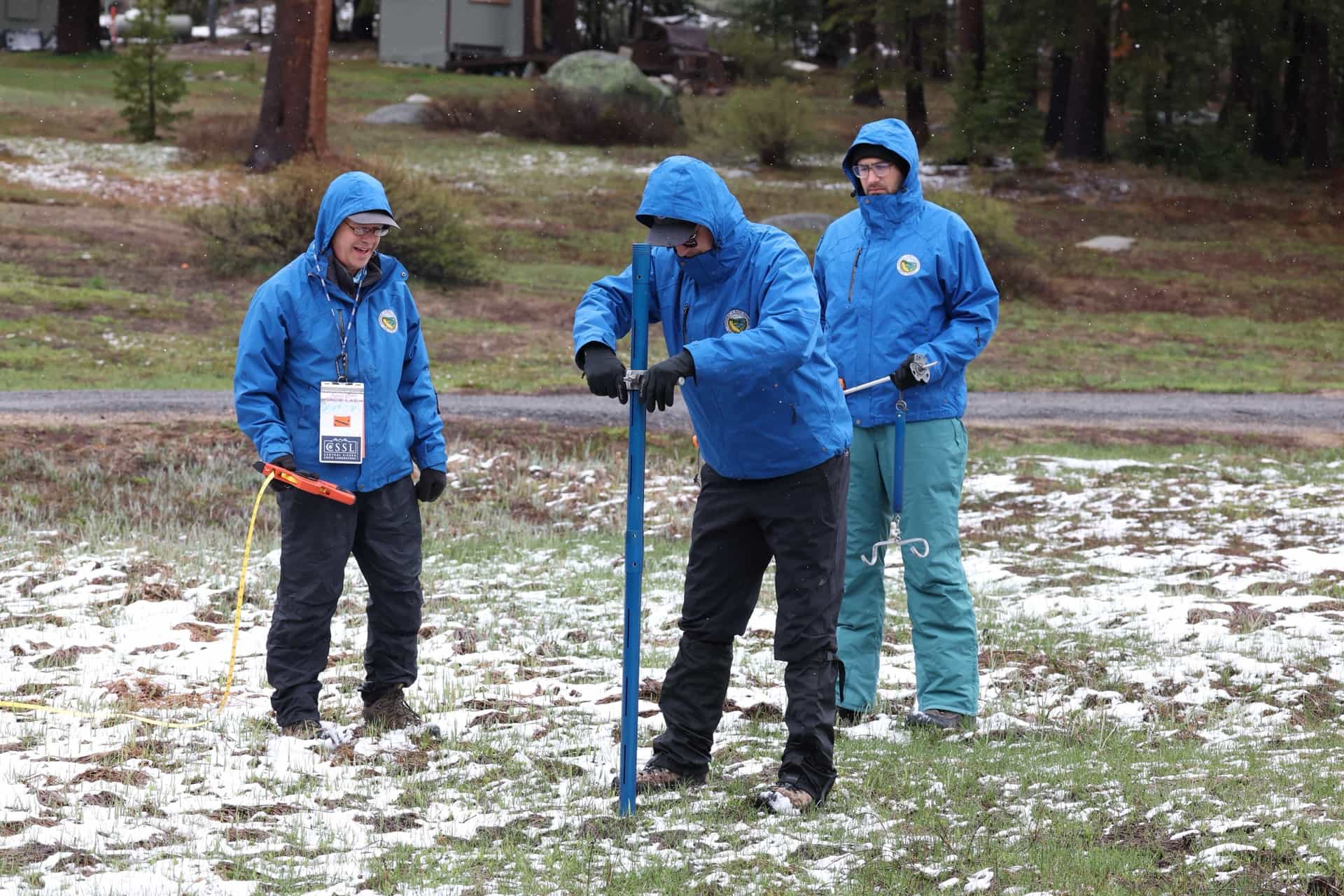
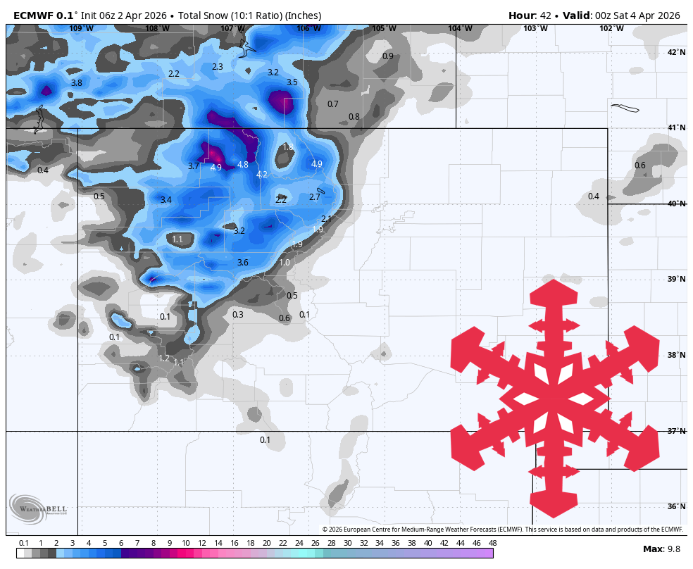
1 month agoCan Colorado's Snowpack Catch Up? - SnowBrains
To get back to average snowpack, we essentially need to have the most snow that we've ever had for the last 30 years between now and mid-April. It would be extremely difficult for Colorado to get back to a normal/average snowpack. As an example, when looking at the Independence Pass SNOTEL site in central Colorado outside of Aspen, we typically have 13 inches of snow-water-equivalent at the end of February. This year, we only have 6.7 inches of SWE.
Snowboarding
Snowboarding
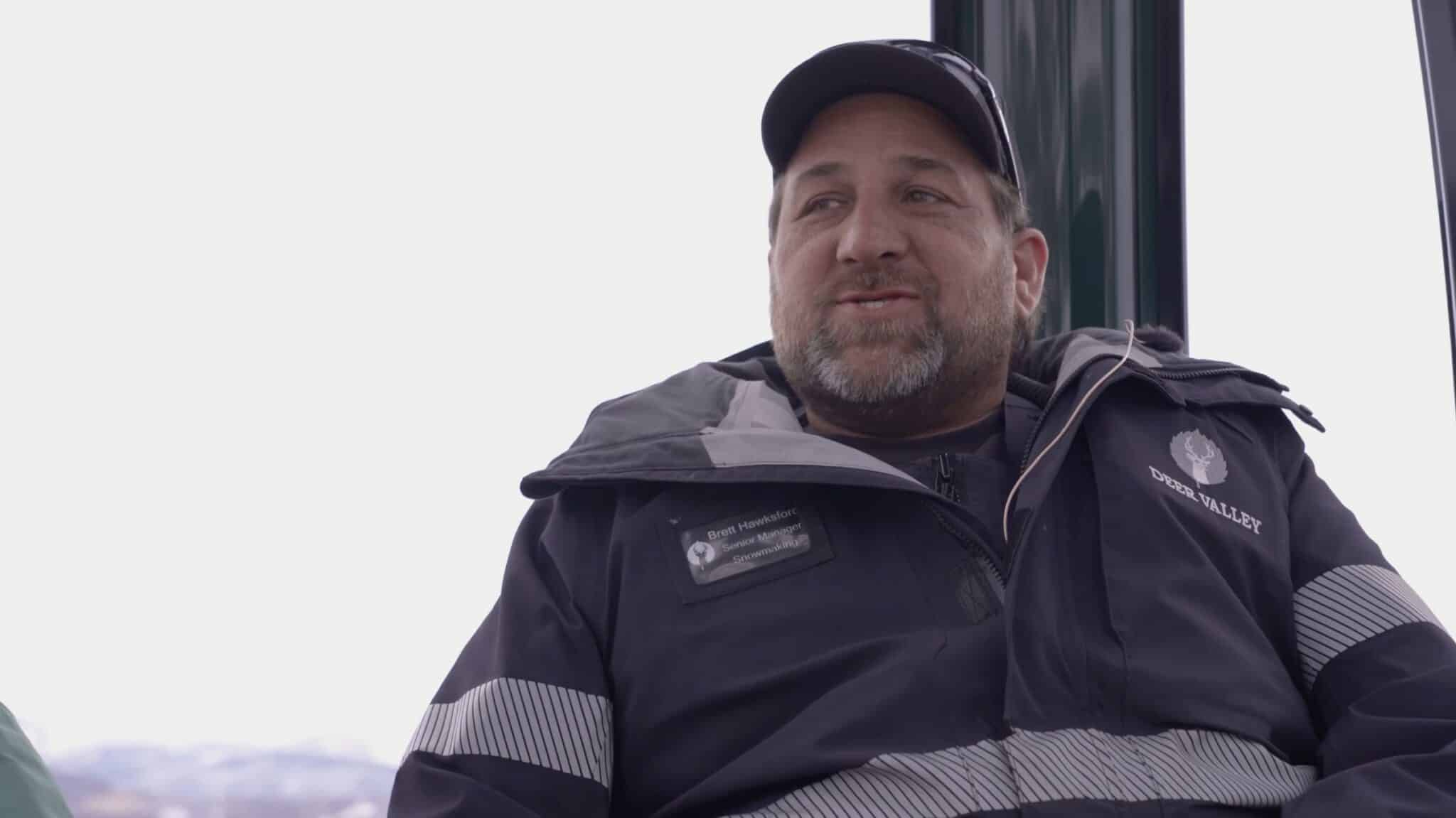
fromThe Walrus
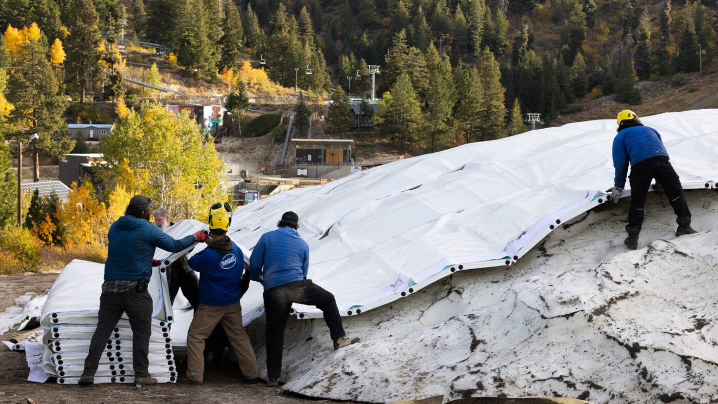
1 month agoAll That Glitters Is Not Snow: How Ski Resorts Are Replicating Reality | The Walrus
Ski resorts rely heavily on artificial snowmaking using massive amounts of water and energy, raising sustainability concerns as climate change shortens winters and increases production demands.
Snowboarding
fromSnowBrains
1 month agoSnowBrains Forecast: Wet Early Snow Then Variable Conditions for Colorado - SnowBrains
Mountain snowfall peaks through Thursday with heavy wet snow and strong winds, followed by uncertain lighter accumulations and a return to warmer, quieter conditions by the weekend.
Snowboarding
fromSnowBrains
1 month agoMajority of Western United States with Record Low Snowpack: How it Affects Ski Resorts and What it Means For the Summer - SnowBrains
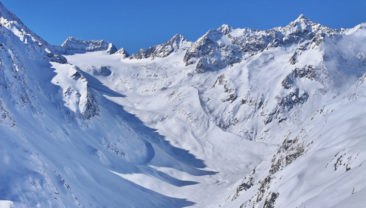
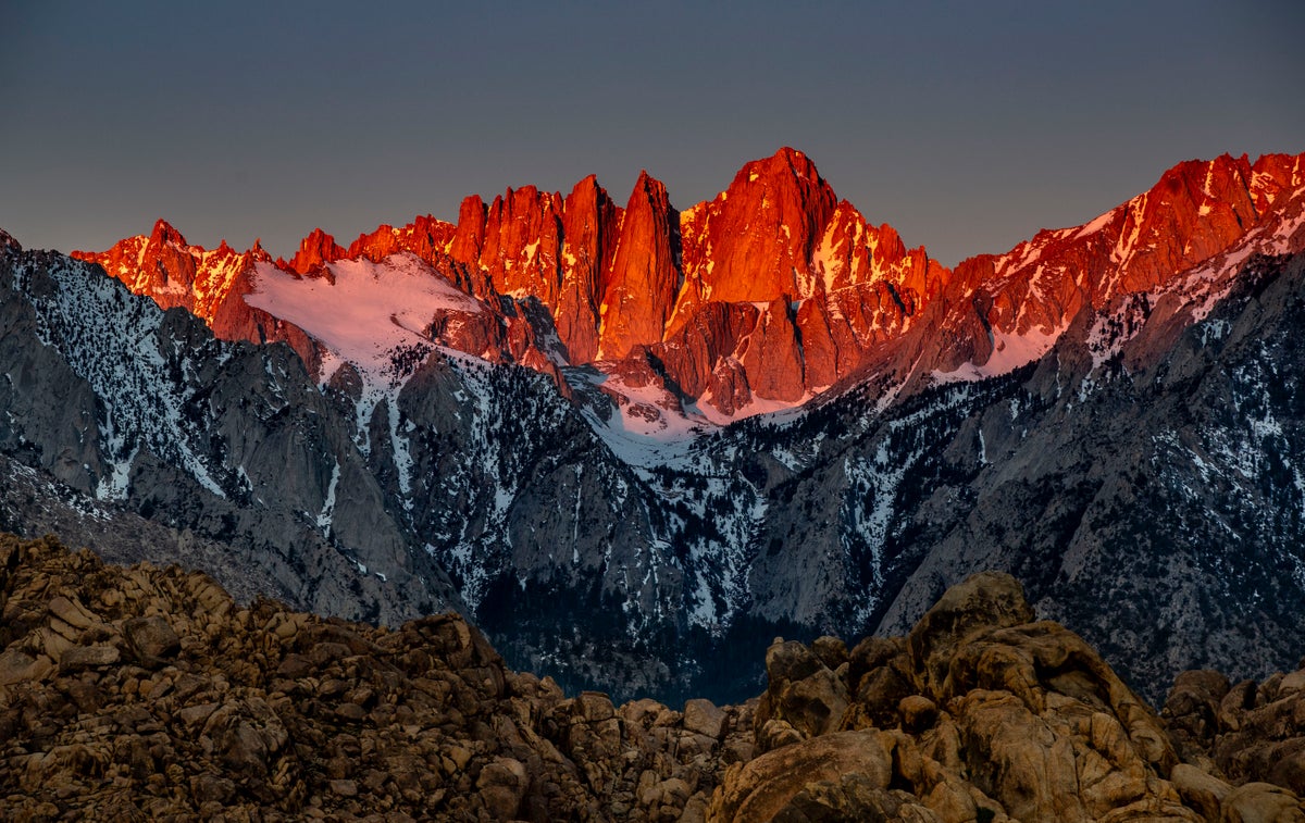
The western U.S. is experiencing an unusually dry, low-snow winter causing reduced ski terrain, threatened glaciers, and decreased water supply for cities and agriculture.
fromSnowBrains
1 month agoSnowBrains Forecast: Snow Finally Returns to Colorado With 1 Foot This Week - SnowBrains
The midweek stretch looks like the most reliable window for fresh turns, with the steadiest snow lining up Wednesday night into Thursday and lighter add-ons into Friday. Snow levels run a little high early, then step down late week, so snow quality should improve as the storm cycle matures. Some areas could see the next wave begin as early as Sun night (02/15), but confidence drops quickly with lead time and placement.
Snowboarding
Snowboarding
fromSnowBrains
2 months agoWhere Will it Be Deep This Week? These are the Top 5 Forecasted Resorts in North America for the Next 10 Days - SnowBrains
Eaglecrest and Arctic Valley in Alaska, along with several North American resorts, are forecast to receive the most snow over the next 10 days.
[ Load more ]