#storms-amy-and-claudia
#storms-amy-and-claudia
[ follow ]
#weather-warning

Europe news
fromIrish Independent
3 weeks agoMet Eireann issues Status Yellow rain warning for 21 counties and nationwide wind warning
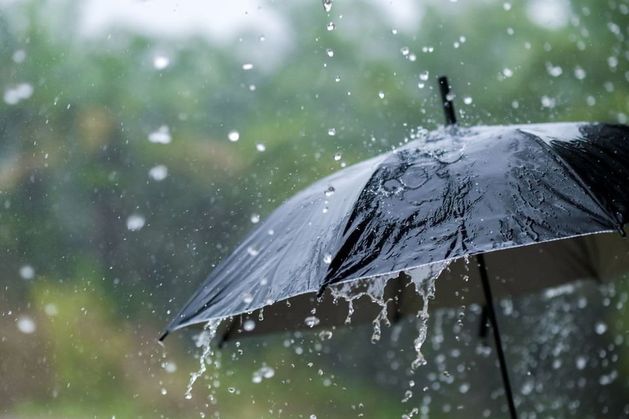
Status Yellow rain and wind warnings are in effect across Ireland Thursday, with heavy rain, flooding, difficult travel conditions, and potential snow at higher elevations.

Europe news
fromIrish Independent
3 weeks agoMet Eireann issues Status Yellow rain warning for 21 counties and nationwide wind warning
Status Yellow rain and wind warnings are in effect across Ireland Thursday, with heavy rain, flooding, difficult travel conditions, and potential snow at higher elevations.
#storm-dave
Europe news
fromIrish Independent
2 hours agoStorm Dave: flights cancelled at Dublin Airport as warning comes into force for entire country with 100kmh gusts expected
Storm Dave is causing significant travel disruptions in Ireland with wind and rain warnings, leading to flight cancellations and challenging driving conditions.


fromABC7 San Francisco
6 days agoBay Area weather radar network aims to improve storm forecasting, flood prep and drought planning
"This is going to help fill that gap in minutes to hours lead time that's vital to know where the heaviest rain is going to hit," Ralph said. "And when and what communities are going to be affected so people in the preparedness community and water resource management community can take action to help protect people's lives and property."
San Francisco
fromThe Washington Post
1 week agoRare Middle East storm could bring floods, damaging winds and tornadoes
Parts of the Arabian Peninsula and Persian Gulf could be slammed by strong to severe thunderstorms Thursday, bringing the potential for damaging winds, destructive hail and a few tornadoes.
World news
#severe-weather
US news
fromwww.theguardian.com
2 weeks agoTriple-threat megastorm' to scatter snow, high winds and thunder across US
A major March megastorm will impact nearly 200 million Americans with severe snow, damaging winds, tornadoes, and flooding, ranking among the most impactful US weather events of the year.
fromMail Online
2 weeks agoUrgent 1,000-mile tornado watch issued along East Coast
More than 35 million people from the Florida Panhandle through Georgia, the Carolinas, Virginia, Maryland, Washington DC, Delaware, eastern Pennsylvania, New Jersey and parts of New York are under tornado watches. The most dangerous period is expected from midday through early evening, with forecasters warning the peak tornado threat in the Mid-Atlantic could occur between about 2pm and 7pm ET.
Miami food
#bomb-cyclone
Chicago
fromMail Online
3 weeks agoHazardous weather alert for 200 million as megastorm barrels across US
A powerful megastorm will sweep across the central US from Sunday to Monday, potentially becoming a bomb cyclone with blizzard conditions, severe thunderstorms, and widespread travel disruptions across major cities.
fromFast Company
1 week agoThe National Hurricane Center's new forecast cone will warn more people if they're in the path of a storm. What you need to know
"These improvements empower communities to prepare earlier and more effectively for dangerous hazards from tropical storms and hurricanes," said Michael Brennan, director of NOAA's National Hurricane Center.
Environment
fromIrish Independent
1 month agoMet Eireann's new localised weather warning system aimed to be in place later this year
Met Éireann is progressing in the area of more localised weather warnings, via the use of polygons to represent areas under warnings. This will mean a move away from county-based warnings to a sub-county-based warning approach, which will identify where the expected impacts will be in the county.
Miscellaneous
fromIrish Independent
1 month agoFlights to Dublin cancelled as Storm Hernando closes in on US east coast
Posting on X, the airport said: "Due to adverse weather (Storm Hernando) on the east coast of the US, airlines have cancelled a number of flights due to operate to/from Dublin Airport on Monday." We need your consent to load this Social Media content. We use a number of different Social Media outlets to manage extra content that can set cookies on your device and collect data about your activity. Please review your details and accept them to load the content
Travel
Environment
fromFast Company
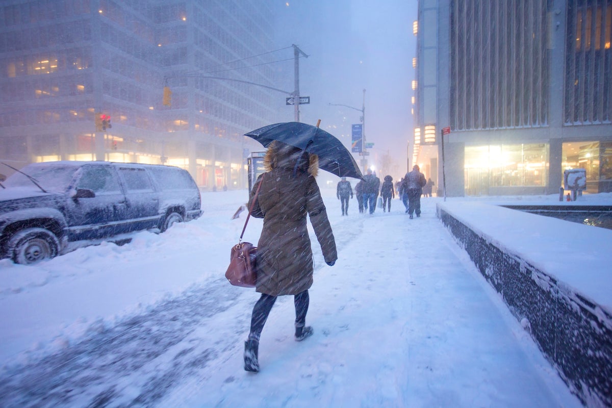
3 weeks agoWeather whiplash to sweep U.S. with simultaneous blizzard, polar vortex, and heat dome
Extreme weather is affecting nearly all U.S. regions simultaneously, including record heat in the Southwest, snow in the Great Lakes, Arctic cold in the Midwest and East, and heavy rain in Hawaii.
Miscellaneous
fromIrish Independent
1 month agoConcern mounts over impact of incessant rainfall as unsettled weather to extend into March
Persistent heavy rainfall across Ireland has saturated farmland, disrupted farming operations and storage, increased flood risk, and may delay planting and harm harvests.
Environment
fromMail Online
3 weeks agoScientists find 'red flags' hinting the Gulf Stream is near collapse
The Atlantic Meridional Overturning Circulation shows warning signs of potential collapse due to freshwater from melting ice sheets diluting ocean water and weakening the system's driving mechanism.


fromSilicon Canals
1 month agoThe one thing meteorologists wish people would stop doing before a winter storm hits - Silicon Canals
When I spoke with emergency management officials last year, they all mentioned the same frustrating scenario. People ignore storm warnings until the precipitation starts falling, then suddenly everyone rushes out at once. The roads become congested with anxious drivers, accidents spike, and stores run out of essentials just when people need them most. But here's what really gets meteorologists worked up about this pattern. Modern weather forecasting has become incredibly accurate, especially for major winter storms.
Public health


fromIrish Independent
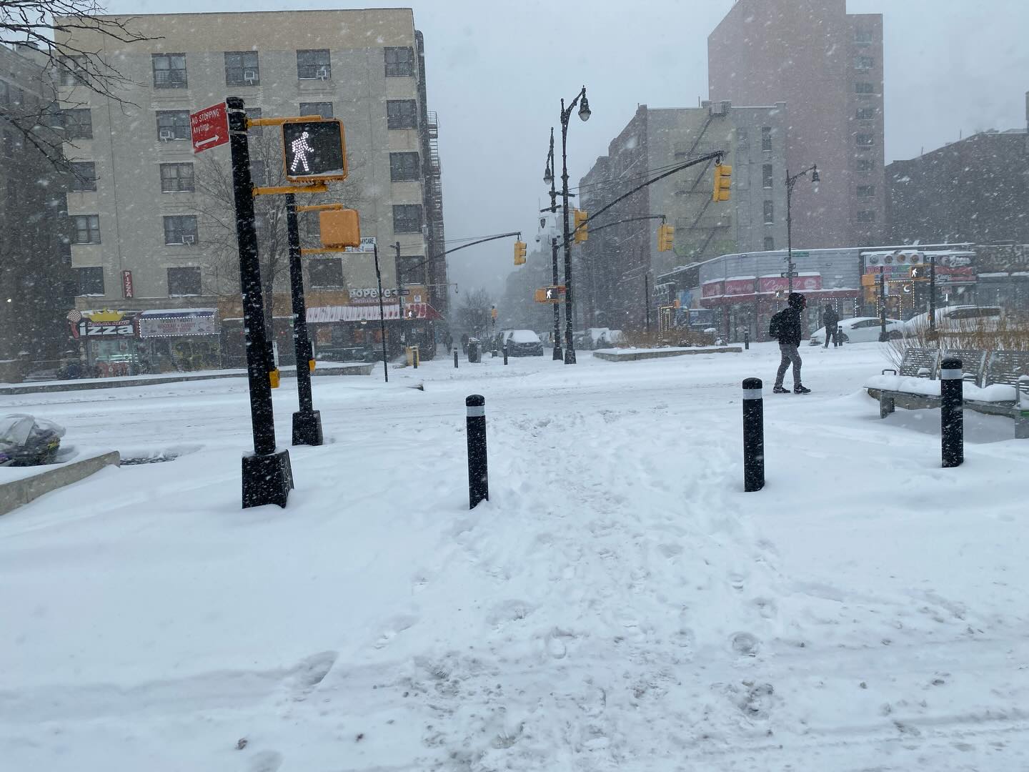
1 month agoMet Eireann issues snow, wind and rain warnings for 12 counties with more flooding and disruption forecast
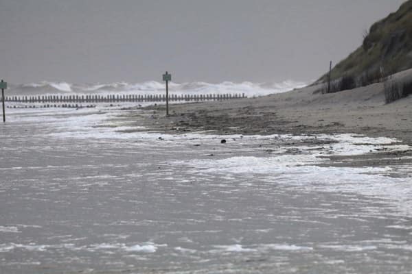
Wexford, Wicklow, Dublin, Meath and Louth will be under a Status Yellow wind warning and Met Éireann are warning of fallen trees and loose debris, as well as difficult travelling conditions associated with this warning. Counties Cork, Waterford, Carlow, Kilkenny, Wexford, Wicklow, and Dublin will be under also be under a Status Yellow rain warning and these counties can expect flooding, poor visibility and difficult travel conditions for the 24-hour period.
Miscellaneous


fromMail Online
1 month agoNationwide travel chaos as hurricane-force winds rip through US
Extreme winds ripping across the US could bring hurricane levels of destruction and impact thousands of air travelers flying across the country. The National Weather Service (NWS) has issued high wind warnings throughout more than 10 states in the Rocky Mountains, Great Plains, and Southwest throughout Tuesday. Wind gusts are expected to reach hurricane strength in parts of Colorado, Montana, Texas, New Mexico, and Wyoming, exceeding 75mph.
US news
fromABC7 San Francisco
7 years agoThe ABC7 Exclusive Storm Impact Scale explained
LIVE RADAR: Track storms as they move through the Bay Area with Live Doppler 7 Take a look at the chart above -- we will give each storm a number with 1 being the lightest type of storm and 5 being the most severe. This way you'll know what to expect. Number 1 means a light storm with 1/2 an inch of rain or less and likely lasting a few hours or less. Number 2 is a moderate storm with 1/2 an inch to one inch of rain forecast and could include scattered power outages.
Environment
fromwww.npr.org
1 month ago'Please inform your friends': The quest to make weather warnings universal
In November 2025, a massive storm rolled across the lower Mekong River delta, dumping multiple inches of rain onto the wide, flat river plain that covers much of Cambodia. The river rose and rose. The force of the water churned up mud from the river bottom. The muddy water flowed downstream and rushed into the many farming and fishing towns that line the Mekong's banks.
US news
fromwww.aljazeera.com
1 month agoOne man killed, girl missing as Storm Leonardo hits Portugal and Spain
Leonardo is the latest in a series of half a dozen storms to batter the Iberian Peninsula this year. A man has lost his life in Portugal after floodwaters engulfed his car, and in Spain, a girl has been reported missing after being swept away by a river as Storm Leonardo has battered the Iberian Peninsula with torrential rain and gale-force winds.
Miscellaneous
fromIrish Independent
1 month agoSevere flooding disruption as forecasters issue last-minute rain warning; winter to bite hard as ice, frost and snow due in coming days
"It will prove cold with some frost and ice in places on Friday morning, especially in the west and north," she said. "Munster and south Leinster will see cloud, but that will clear to leave dry and sunny conditions with a few isolated showers in the north and highest temperatures of 3C to 7C," she said. Friday night will prove mainly dry but very cold and frosty with some icy patches.
Environment
fromIrish Independent
1 month agoMet Eireann changes Orange and Yellow rain warnings for 13 counties as flood threat peaks and travel disruption hits
LATEST: More homes and businesses at risk as flood threat to peak this morning Series of Status Orange and Yellow warnings in place Coast Guard has asked public to stay away from waterways and exposed coastal areas Some schools may close today as flooding may affect transport The threat of flooding is set to peak this morning, with road networks expected to bear the brunt of the deluge. However, damage to residential and commercial properties is also likely, emergency services have warned.
Miscellaneous
Environment
fromwww.mercurynews.com
2 months agoMeteorologists blame a stretched polar vortex, moisture, lack of sea ice for dangerous winter blast
Warm Arctic waters and cold land are elongating the polar vortex, bringing subzero temperatures, heavy snow, and crippling ice across much of the United States.
[ Load more ]