Roam Research
fromEngadget
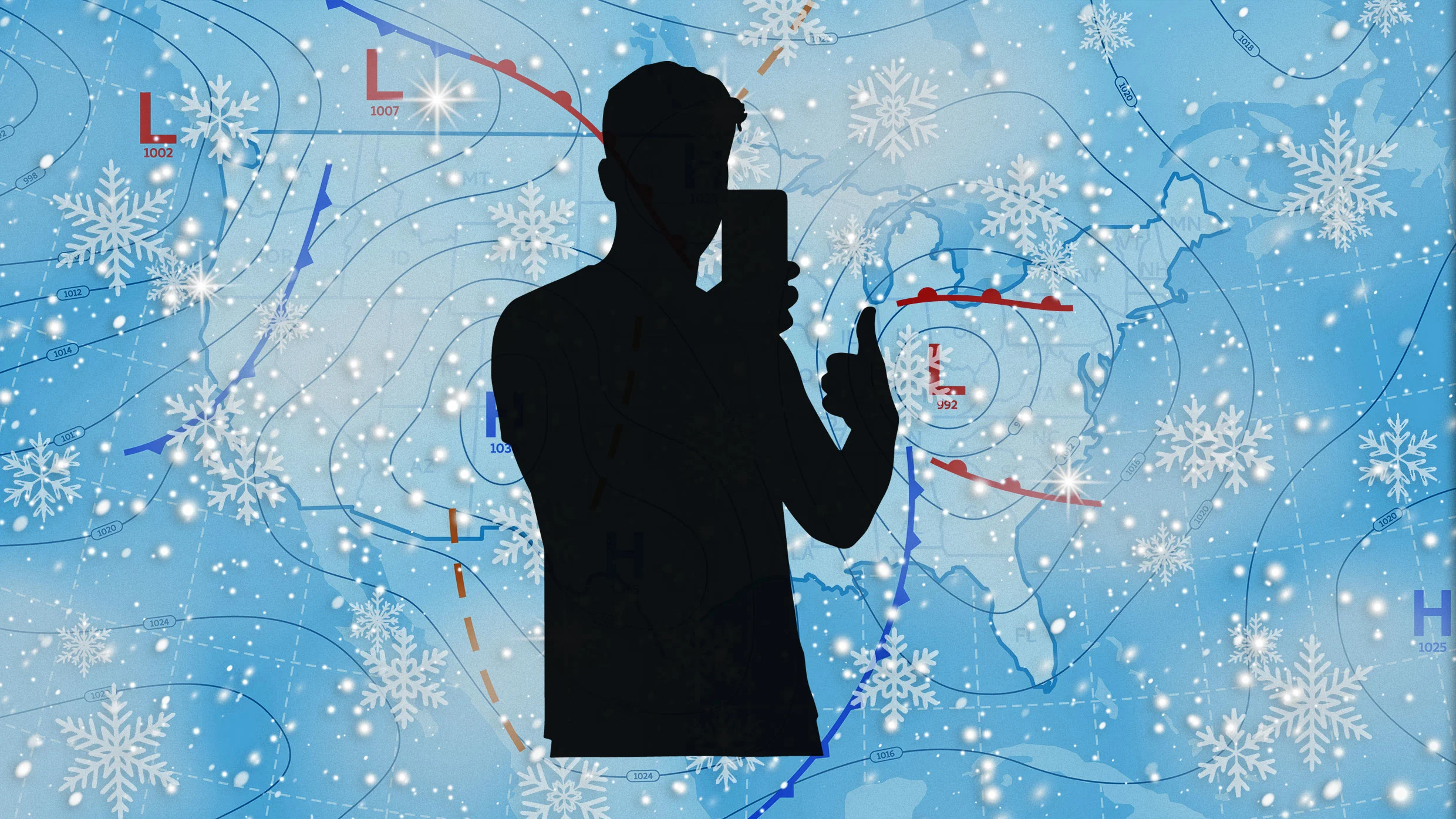
2 days agoThe new Storm Radar app is a treasure trove of data for weather nerds
High-definition single-site radar feeds enhance storm tracking with detailed, localized weather data.
We created Earth in Action to provide a lens into what's happening on our planet, as it happens. Whether it's something typical, like the current air temperature, or an extreme event like a major dust storm, we wanted to provide an opportunity for people to see them.
"This is going to help fill that gap in minutes to hours lead time that's vital to know where the heaviest rain is going to hit," Ralph said. "And when and what communities are going to be affected so people in the preparedness community and water resource management community can take action to help protect people's lives and property."
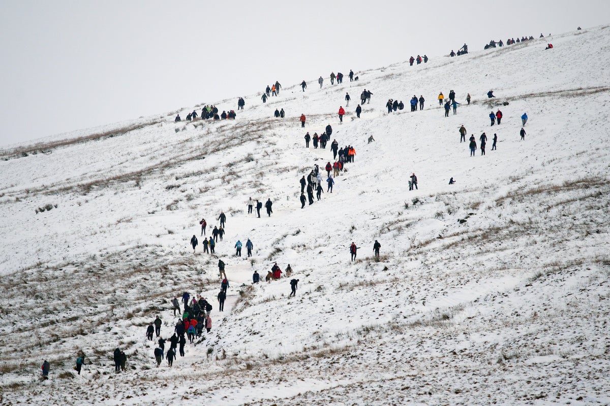
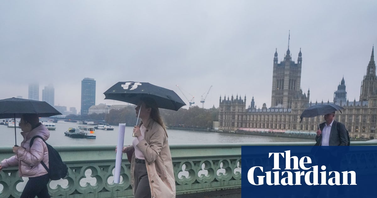
In March, we expect mercurial weather- intrat leo, exeunt agnus-but this March has taken things to an extreme. In Washington, D.C., where I live, the weather was eighty-four degrees and sunny one day, then just above freezing and snowing the next.
Google tasked Gemini with sorting through 5 million news articles from around the world and isolating flood reports. It transformed this data into a geo-tagged series of chronological events. Next, researchers trained a model to ingest current weather forecasts and leverage the Groundsource data to determine the likelihood of a flash flood in a given area.
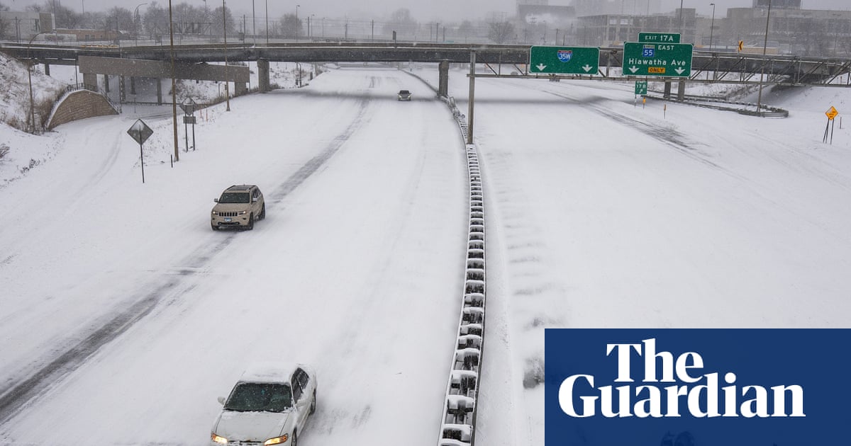
The storm from Sunday into Monday has the potential to become a bomb cyclone, which occurs when central pressure drops at least 0.71 inches of mercury (24 millibars) in 24 hours or less. That rapid strengthening would generate an expansive and intense wind field.
Along coastlines, where tides are typically magnified, they profoundly affect navigation, commerce, coastal flooding, water properties and sediment transport. Tides impact the flooding of rivers and, thus, influence the extent of their floodplain, which has cascading effects on biogeochemical and ecological processes.
While humans have assembled a lot of weather data, flash floods are too short-lived and localized to be measured comprehensively, the way the temperature or even river flows are monitored over time. That data gap means that deep learning models, which are increasingly capable of forecasting the weather, aren't able to predict flash floods.
Met Éireann is progressing in the area of more localised weather warnings, via the use of polygons to represent areas under warnings. This will mean a move away from county-based warnings to a sub-county-based warning approach, which will identify where the expected impacts will be in the county.
Britain is about to be hit with showers of 'blood rain', according to experts from the Copernicus Atmosphere Monitoring Service (CAMS). This is thanks to a plume of red Saharan dust, which is currently sweeping over Europe towards the UK. When this dust mixes with Britain's persistent rain, the precipitation will take on a distinctive reddish colour - creating a phenomenon known as 'blood rain'.
"So whenever people think about hot weather, they always talk about the temperature," he says. "There's two issues with that. First of all, most people don't realise that the temperature is measured in the shade. So if you're in direct solar radiation, the amount of heat stress you're exposed to is much greater as it will stress your body out a lot more."
In November 2025, a massive storm rolled across the lower Mekong River delta, dumping multiple inches of rain onto the wide, flat river plain that covers much of Cambodia. The river rose and rose. The force of the water churned up mud from the river bottom. The muddy water flowed downstream and rushed into the many farming and fishing towns that line the Mekong's banks.
When I spoke with emergency management officials last year, they all mentioned the same frustrating scenario. People ignore storm warnings until the precipitation starts falling, then suddenly everyone rushes out at once. The roads become congested with anxious drivers, accidents spike, and stores run out of essentials just when people need them most. But here's what really gets meteorologists worked up about this pattern. Modern weather forecasting has become incredibly accurate, especially for major winter storms.
If you've ever glanced at your phone's weather app to check the day's forecast or to help plan for an upcoming storm, you've probably run across a scenario where you see an outrageous forecast. It happened to me earlier this week when I noticed my app was predicting more than 13 inches of snow for the Charlotte, NC area. Not only would that be a historic storm, but it would also be fairly apocalyptic for an area where even an inch of snow is a rarity.
Wexford, Wicklow, Dublin, Meath and Louth will be under a Status Yellow wind warning and Met Éireann are warning of fallen trees and loose debris, as well as difficult travelling conditions associated with this warning. Counties Cork, Waterford, Carlow, Kilkenny, Wexford, Wicklow, and Dublin will be under also be under a Status Yellow rain warning and these counties can expect flooding, poor visibility and difficult travel conditions for the 24-hour period.
Rainbow Weather has raised $5.5 million in seed funding to push weather forecasting further into the short-term, high-precision territory it believes the industry still underserves. The Warsaw-based climate tech startup focuses on hyperlocal, minute-by-minute forecasts, zeroing in on what happens in the next few hours rather than days out. The round was backed by a syndicate of investors, including Yuri Gurski, founder of Flo Health, one of Europe's best-known consumer tech unicorns.
Growing up outside Manchester, I spent countless summer holidays at my grandparents' farm in the Yorkshire Dales. My grandfather would step outside each morning, scan the sky, and announce with absolute certainty what the weather would do that day. No smartphone apps, no weather channel, just decades of observation. I used to think it was nonsense. How could watching birds or looking at clouds possibly compete with satellite technology? But here's the thing: he was almost always right.
The pattern change began Monday when the barometric pressure surrounding the region started to fall gradually. That increase in low pressure is coming from the southwest and the air is flowing north, opposite of many winter low-pressure systems that dip in from the Pacific Northwest. As a result, light but steady rain is expected to start in Monterey County and the Central Coast late Tuesday morning. The rain is expected to reach the region closer to San Francisco sometime Tuesday night, Murdock said.
Wildfire prevention has traditionally relied on blunt tools, such as rigid inspection cycles and emergency power shutoffs. Now a new generation of technology start-ups is pitching a more targeted approach: using artificial intelligence to help utility companies decide what to inspectand where to intervenebefore a spark becomes a blaze. The stakes are rising. In 2025 more than 77,000 wildfires were reported in the U.S.significantly more than the past decade's averageand burned more than five million acres.