#bryce-anderson
#bryce-anderson
[ follow ]
#winter-storm #weather-forecasting #climate-change #extreme-weather #power-outages #bay-area-weather


fromABC7 San Francisco
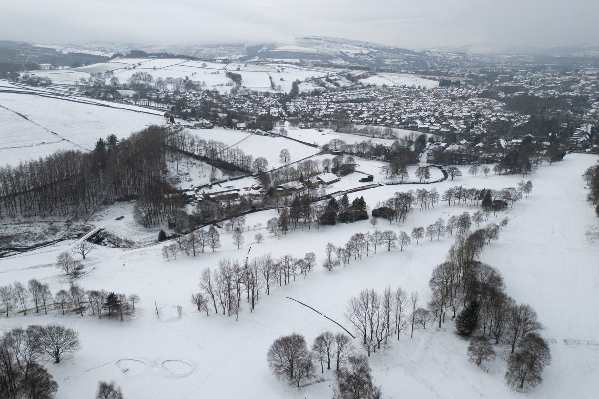
1 week agoBay Area weather radar network aims to improve storm forecasting, flood prep and drought planning
"This is going to help fill that gap in minutes to hours lead time that's vital to know where the heaviest rain is going to hit," Ralph said. "And when and what communities are going to be affected so people in the preparedness community and water resource management community can take action to help protect people's lives and property."
San Francisco


#winter-storm
Canada news
fromwww.theguardian.com
2 weeks agoWeather tracker: heavy snowfall and freezing rain sweep across US and Canada
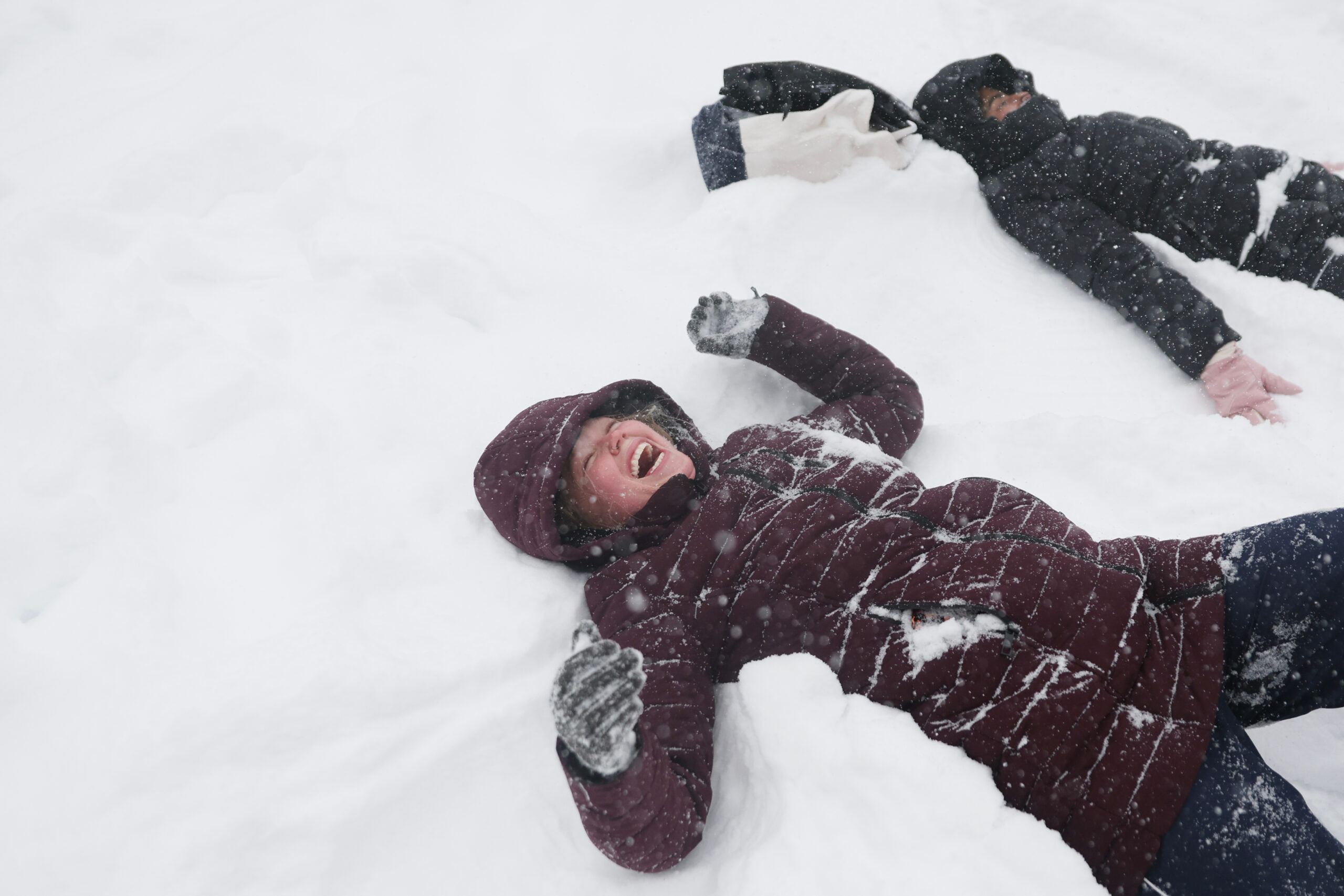
A major winter storm is sweeping northeastern US and southeastern Canada, bringing heavy snow, freezing rain, strong winds, and a dangerous polar air mass with temperatures 10-25°C below seasonal average.


Canada news
fromwww.theguardian.com
2 weeks agoWeather tracker: heavy snowfall and freezing rain sweep across US and Canada
A major winter storm is sweeping northeastern US and southeastern Canada, bringing heavy snow, freezing rain, strong winds, and a dangerous polar air mass with temperatures 10-25°C below seasonal average.
#bomb-cyclone
Chicago
fromMail Online
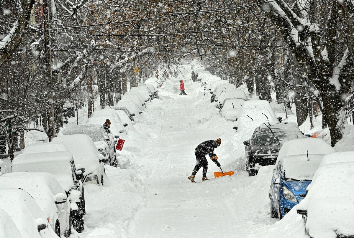
3 weeks agoHazardous weather alert for 200 million as megastorm barrels across US
A powerful megastorm will sweep across the central US from Sunday to Monday, potentially becoming a bomb cyclone with blizzard conditions, severe thunderstorms, and widespread travel disruptions across major cities.
Chicago
fromMail Online
3 weeks agoHazardous weather alert for 200 million as megastorm barrels across US
A powerful megastorm will sweep across the central US from Sunday to Monday, potentially becoming a bomb cyclone with blizzard conditions, severe thunderstorms, and widespread travel disruptions across major cities.
fromTechCrunch
3 weeks agoGoogle is using old news reports and AI to predict flash floods | TechCrunch
While humans have assembled a lot of weather data, flash floods are too short-lived and localized to be measured comprehensively, the way the temperature or even river flows are monitored over time. That data gap means that deep learning models, which are increasingly capable of forecasting the weather, aren't able to predict flash floods.
Science
Chicago
fromwww.theguardian.com
3 weeks agoTornadoes hit Illinois, Indiana and Texas as severe storms sweep US
A series of tornadoes struck Texas, Illinois, and Indiana, killing at least two people in Indiana, with severe weather and flooding threats continuing through Wednesday across multiple states.
UK news
fromwww.independent.co.uk
1 month agoStorm Prince Andrew and Elon Gust among storm names suggested to Met Office
The Met Office receives thousands of public storm name suggestions annually, but only accepts serious names for safety purposes, rejecting humorous submissions despite their creativity.
Agriculture
fromwww.pressdemocrat.com
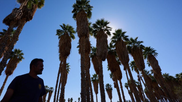
1 month agoLow snowpack, higher temperatures cause concern for Bay Area scientists, farmers
California needs significant March rain and snow to restore water resources after an unusually warm winter, despite February storms improving reservoir levels to 70-80% capacity.


Environment
fromFast Company
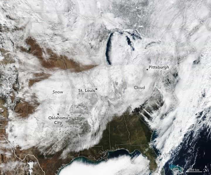
3 weeks agoWeather whiplash to sweep U.S. with simultaneous blizzard, polar vortex, and heat dome
Extreme weather is affecting nearly all U.S. regions simultaneously, including record heat in the Southwest, snow in the Great Lakes, Arctic cold in the Midwest and East, and heavy rain in Hawaii.
Snowboarding
fromSnowBrains
1 month agoSnowBrains Forecast: Wet Early Snow Then Variable Conditions for Colorado - SnowBrains
Mountain snowfall peaks through Thursday with heavy wet snow and strong winds, followed by uncertain lighter accumulations and a return to warmer, quieter conditions by the weekend.
Environment
fromThe Mercury News
1 month agoLow snowpack, higher temperatures cause concern for Bay Area scientists, farmers
March precipitation in higher elevations is critical for California's water security as snowpack remains significantly below average despite February storms and warm winter conditions.

Artificial intelligence
fromTechCrunch
2 months agoNvidia's new AI weather models probably saw this storm coming weeks ago | TechCrunch
Nvidia released Earth-2 AI weather models claiming faster, more accurate forecasts; Earth-2 Medium Range reportedly outperforms Google DeepMind's GenCast on over 70 variables.

Public health
fromwww.theguardian.com
2 months agoAs a climate scientist, I know heatwaves in Australia will only get worse. We need to start preparing now | Sarah Perkins-Kirkpatrick
Southeastern Australia faces an extreme heatwave with dangerous fire-weather conditions, heightened fire risk, and serious health impacts requiring preparedness and vigilance.


fromSilicon Canals
2 months agoThe one thing meteorologists wish people would stop doing before a winter storm hits - Silicon Canals
When I spoke with emergency management officials last year, they all mentioned the same frustrating scenario. People ignore storm warnings until the precipitation starts falling, then suddenly everyone rushes out at once. The roads become congested with anxious drivers, accidents spike, and stores run out of essentials just when people need them most. But here's what really gets meteorologists worked up about this pattern. Modern weather forecasting has become incredibly accurate, especially for major winter storms.
Public health
fromwww.standard.co.uk
2 months agoWhat is a weather bomb and will it impact London?
The Met Office has put two amber and seven yellow alerts in place for Thursday, with chief forecaster Neil Armstrong describing the system as a multi-hazard event combining heavy rain, powerful winds and snowfall. Storm Goretti, which was named by the French meteorological service, has also been labelled a weather bomb by the Met Office as it strengthens quickly over the Atlantic before tracking towards the UK and France.
London

Snowboarding
fromSnowBrains
1 month agoSnowBrains Forecast: 1 Foot for the Rockies This Week, Active Pattern Continues Next Week - SnowBrains
Northern Rockies will see frequent snow this week, with western Wyoming and southwest Montana getting the most dependable powder; varying snow quality across regions.
fromwww.npr.org
1 month ago'Please inform your friends': The quest to make weather warnings universal
In November 2025, a massive storm rolled across the lower Mekong River delta, dumping multiple inches of rain onto the wide, flat river plain that covers much of Cambodia. The river rose and rose. The force of the water churned up mud from the river bottom. The muddy water flowed downstream and rushed into the many farming and fishing towns that line the Mekong's banks.
US news
fromABC7 San Francisco
7 years agoThe ABC7 Exclusive Storm Impact Scale explained
LIVE RADAR: Track storms as they move through the Bay Area with Live Doppler 7 Take a look at the chart above -- we will give each storm a number with 1 being the lightest type of storm and 5 being the most severe. This way you'll know what to expect. Number 1 means a light storm with 1/2 an inch of rain or less and likely lasting a few hours or less. Number 2 is a moderate storm with 1/2 an inch to one inch of rain forecast and could include scattered power outages.
Environment
fromThe Mercury News
1 month agoAnticipated rain will bring end to Bay Area's dry pattern
The pattern change began Monday when the barometric pressure surrounding the region started to fall gradually. That increase in low pressure is coming from the southwest and the air is flowing north, opposite of many winter low-pressure systems that dip in from the Pacific Northwest. As a result, light but steady rain is expected to start in Monterey County and the Central Coast late Tuesday morning. The rain is expected to reach the region closer to San Francisco sometime Tuesday night, Murdock said.
Environment
Environment
fromwww.mercurynews.com
2 months agoMeteorologists blame a stretched polar vortex, moisture, lack of sea ice for dangerous winter blast
Warm Arctic waters and cold land are elongating the polar vortex, bringing subzero temperatures, heavy snow, and crippling ice across much of the United States.
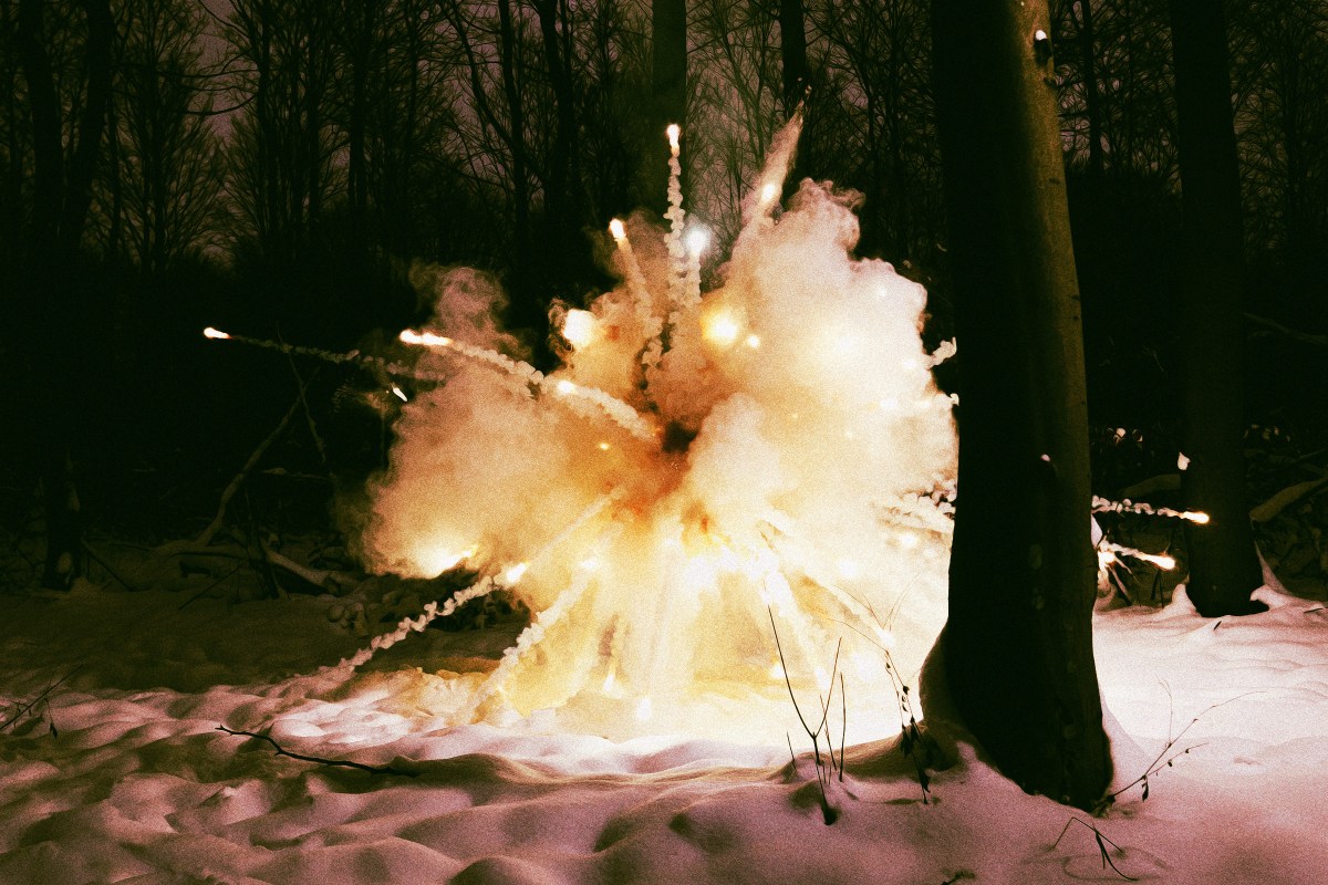
Environment
fromIntelligencer
2 months agoThunder Ice to Exploding Trees: A Glossary of Scary Winter Storm Terms
A winter storm will bring thunder-driven freezing precipitation (thunder-ice/thunder-sleet) across the Mississippi River Valley while an extreme cold snap risks tree explosions in the Midwest.
[ Load more ]