#dash-snow
#dash-snow
[ follow ]
#skiing #snowpack #ski-resorts #winter-sports #climate-change #spring-skiing #snowfall #weather #snowboarding


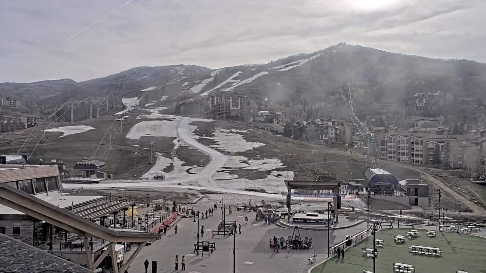
California
fromsfist.com
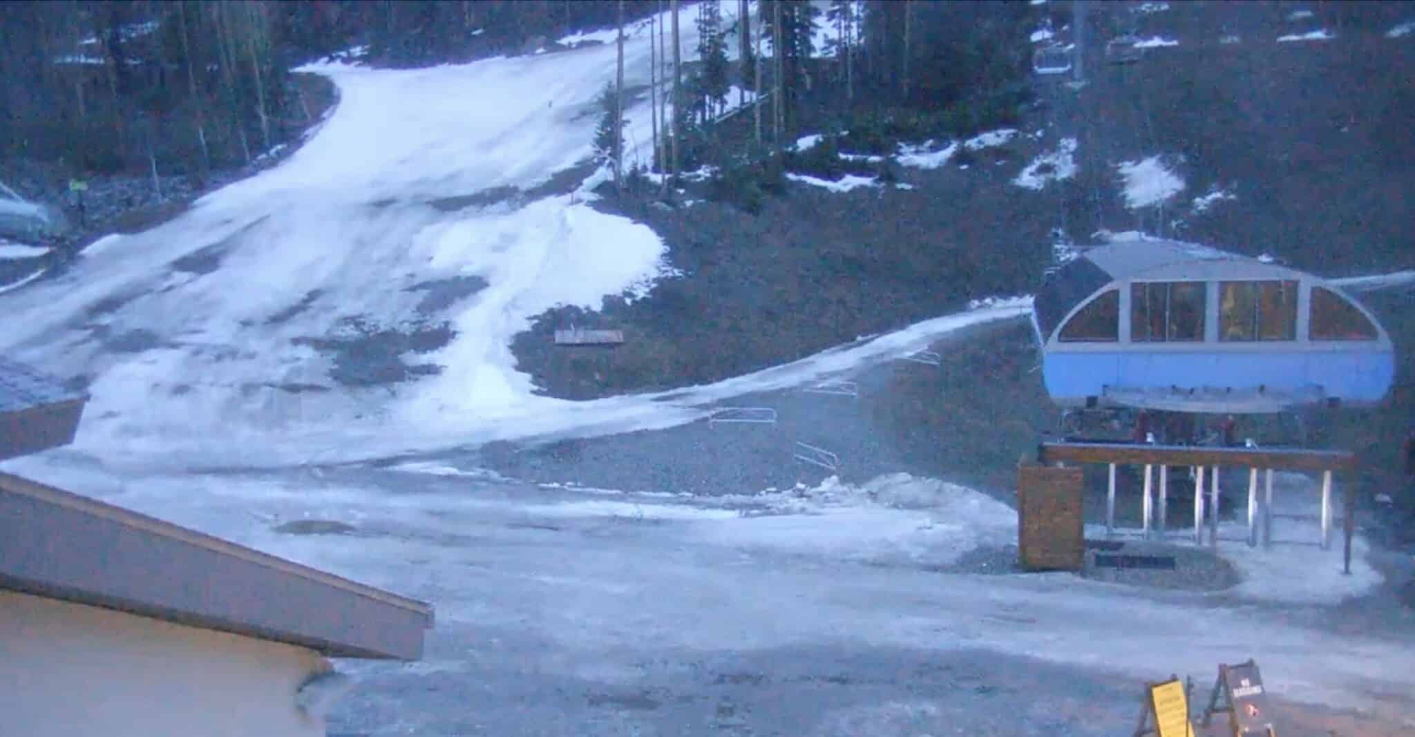
2 weeks agoThursday Morning What's Up: Ski Resorts Calling It Early Amid Snowmelt
Northern California ski resorts are closing early due to rapid snowmelt and warm temperatures, while regional political and business developments include SFPD pay increases, minimum wage ballot initiatives, and billionaire-backed gubernatorial campaigns.

Skiing
fromABC7 San Francisco
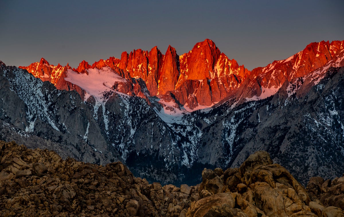
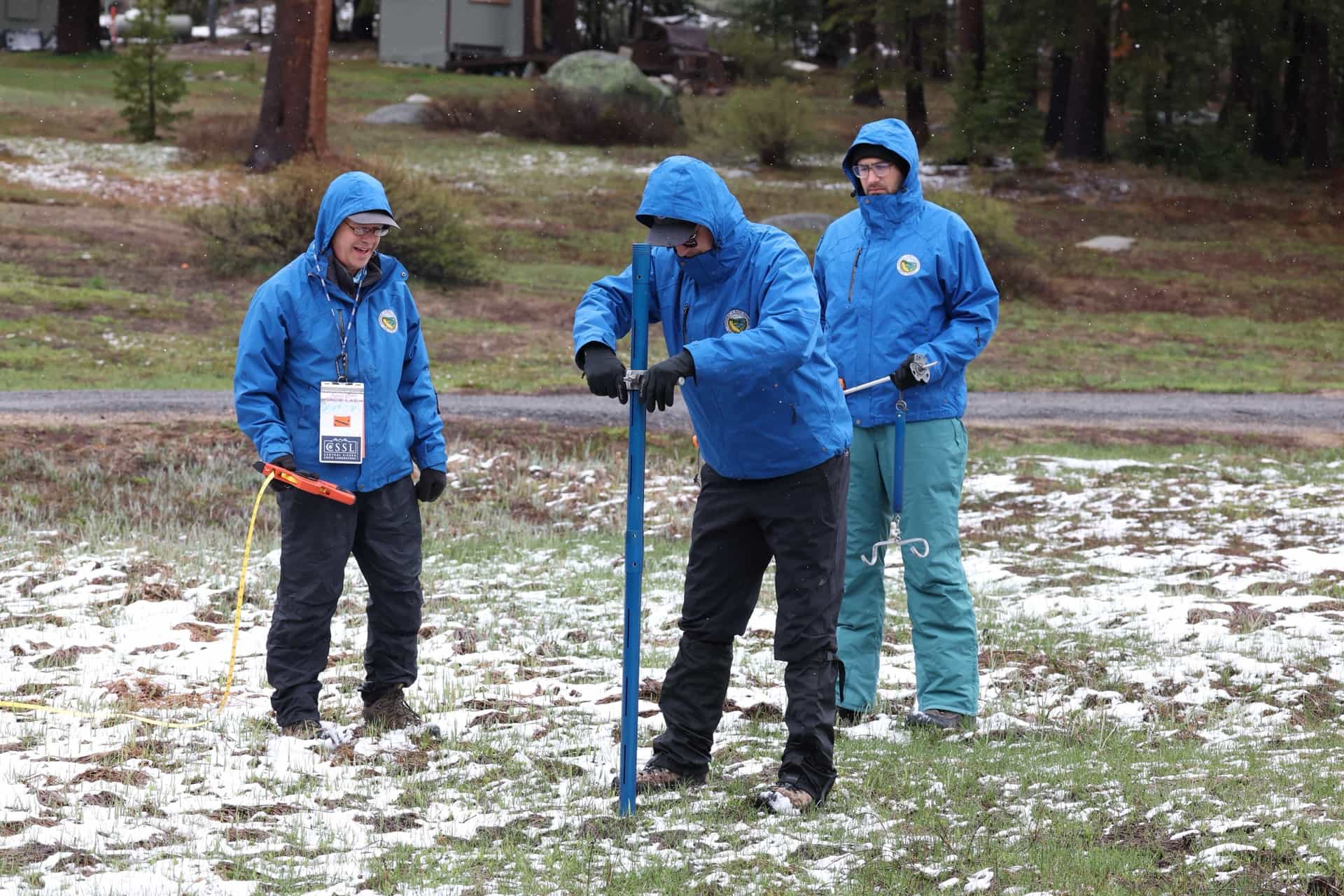
2 weeks agoShortening ski season: Sierra Nevada snowpack melting at 1% per day, officials say
A heat wave is rapidly melting Lake Tahoe's already-depleted snowpack at 1% daily, threatening to create the second-lowest April 1st measurement in history, with cascading impacts on water supply, wildfire risk, drought conditions, and ski season viability.

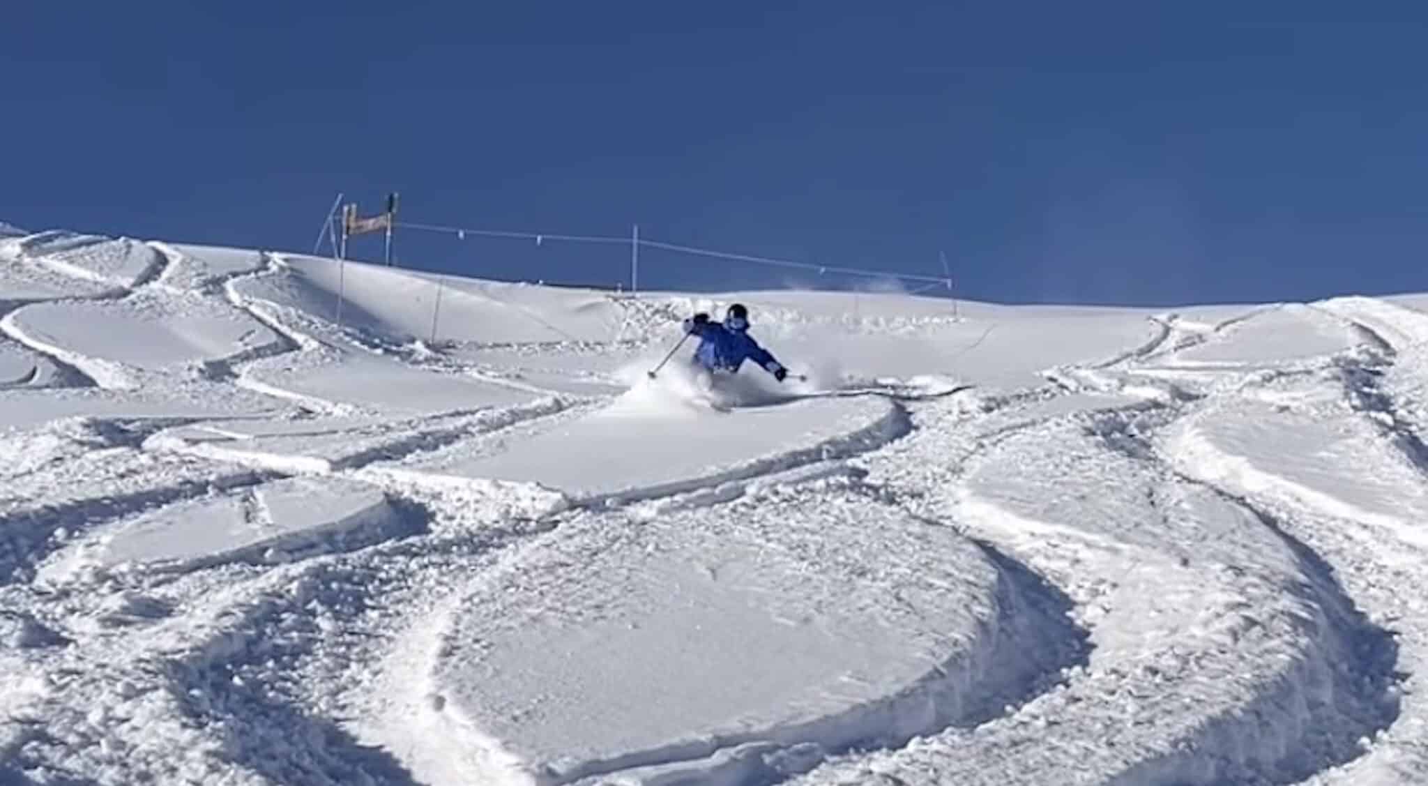
fromSnowBrains
1 day agoLate Season Storm Brings Welcome Conditions Refresh to Mt. Rose Ski Tahoe, NV - SnowBrains
"We're always glad to welcome winter back, and this latest round of snow has ensured there are still great turns to be had as our spring season continues. Late season powder days are a bonus, and with the spring events and deals we have planned, it's not too late to get up here for some great skiing and riding!" - Mike Pierce, Marketing Director, Mt. Rose Ski Tahoe
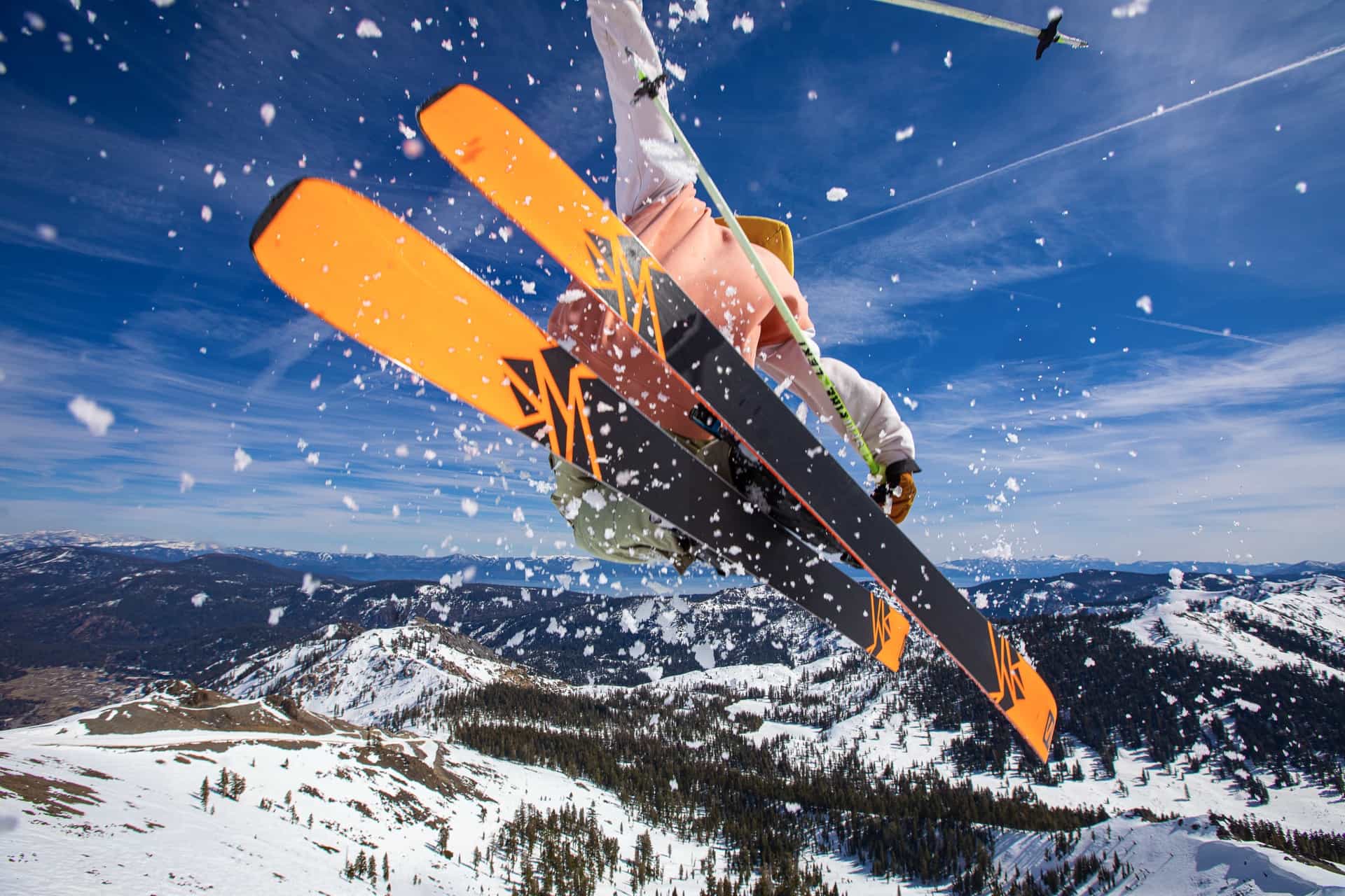
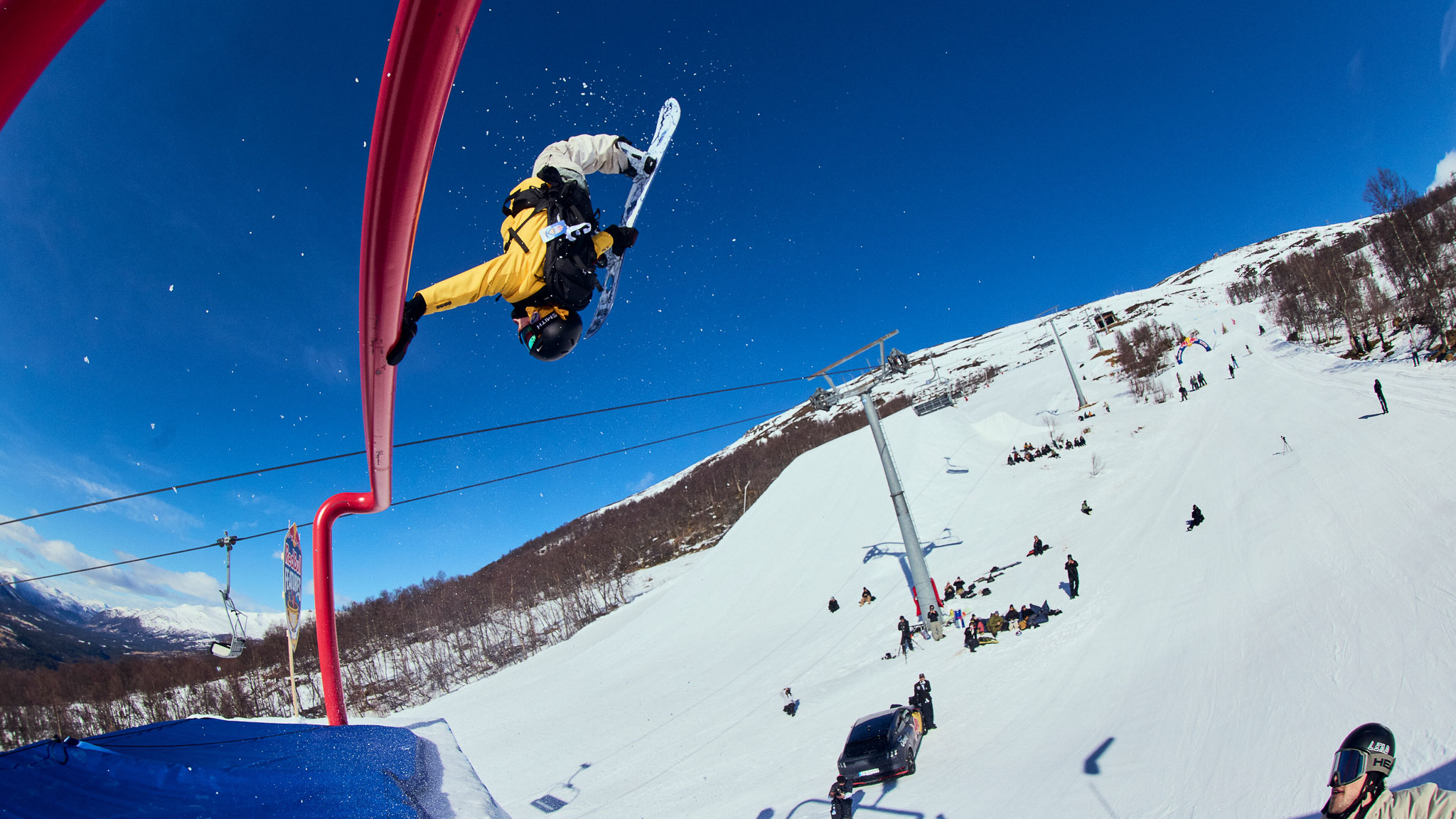
Snowboarding


fromSnowBrains
4 days agoAvalancheClarity: Free App Brings AI-Translated French Avalanche Bulletins to International Skiers - SnowBrains
AvalancheClarity makes Météo-France's daily avalanche bulletins accessible to non-French speakers for the first time, translating them into English, German, Dutch, Italian, Swedish, Danish, and Polish. This is crucial for international visitors who ski the French Alps, as the bulletins contain essential safety information that was previously inaccessible due to language barriers.
Snowboarding
fromwww.theguardian.com
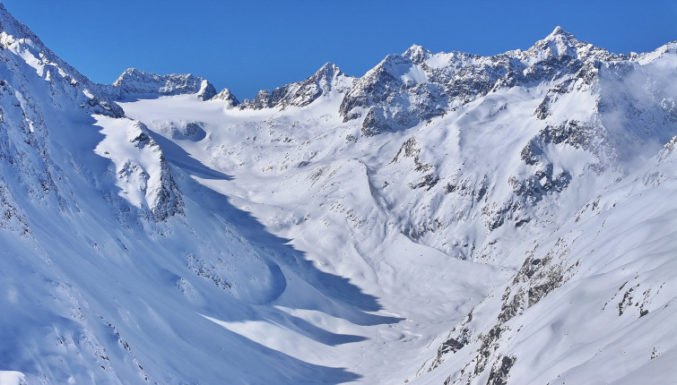
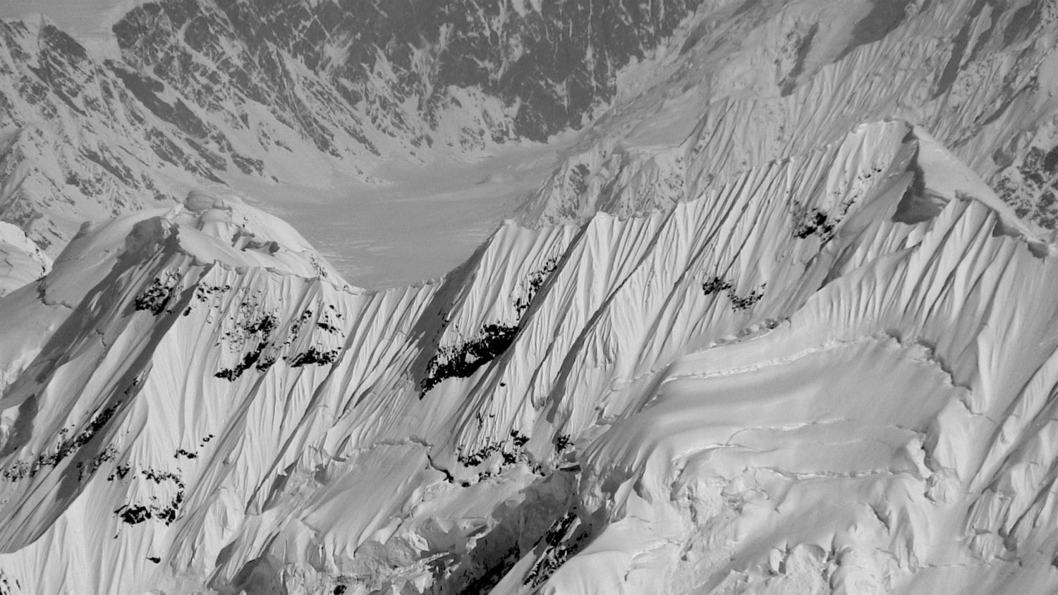
1 month agoLess snow, or more risk? What you need to know about avalanches and climate change
Avalanches kill about 100 people in Europe each year, with vast masses of ice, snow and rock regularly crashing down on hikers and skiers who have been caught unawares. The structure of the snow, angle of the slope and variation of the weather can dictate whether a gentle disturbance like a gust of wind or the glide of a snowboard can trigger a deadly shift in the mountain.
Environment
Snowboarding
fromSnowBrains
2 weeks agoWhere Will it Be Deep This Week? These are the Top 5 Forecasted Resorts in North America for the Next 10 Days - SnowBrains
Fresh snow transforms ski runs into powder days, with forecasts identifying North American resorts receiving the most snowfall over the next 10 days.
Snowboarding
fromSnowBrains
3 weeks agoThe Western U.S. Could See A Rare Wet Slab Avalanche Cycle Next Weekend - SnowBrains
A historic heat wave with temperatures 20-30 degrees above average could trigger rare wet slab avalanches in Colorado and Utah by introducing liquid water to weak layers in the snowpack.
Snowboarding
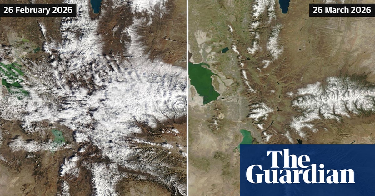
fromSnowBrains
3 weeks agoFrom Zero to Hero and Back: California's Snowpack Reverses Course Twice in Just Weeks - SnowBrains
The 2025-2026 winter brought record-high temperatures and low precipitation across the American West, leaving the Sierra Nevada snowpack at half its April average until a historic 100-inch storm in mid-February was followed by rapid melting from warm rain.


fromSnowBrains
1 month agoThe Snow League Pilots "Crash Patch" at Halfpipe Competition in Aspen Snowmass, CO - SnowBrains
Pushing limits drives snowboarding, but protection has to keep pace. Athlete safety has always been personal to me. At The Snow League, we're always looking for ways to better support athletes at the highest level. Piloting Crash Patch was one way we encouraged our athletes to make smart decisions in the moment.
Snowboarding
fromUnofficial Networks
1 month ago5 Ski Resorts That Average 400"+ of Snow (And Why They're Snow Magnets)
Mt. Baker is the PNW's snow vacuum. It's close enough to the Pacific to get storm after storm, and the North Cascades do what they do best: force moist air straight up, wring it out, and bury everything in sight. Maritime storms roll in wet and heavy, then pile up fast when they hit terrain.
Snowboarding
fromSnowBrains
1 month agoCan Colorado's Snowpack Catch Up? - SnowBrains
To get back to average snowpack, we essentially need to have the most snow that we've ever had for the last 30 years between now and mid-April. It would be extremely difficult for Colorado to get back to a normal/average snowpack. As an example, when looking at the Independence Pass SNOTEL site in central Colorado outside of Aspen, we typically have 13 inches of snow-water-equivalent at the end of February. This year, we only have 6.7 inches of SWE.
Snowboarding
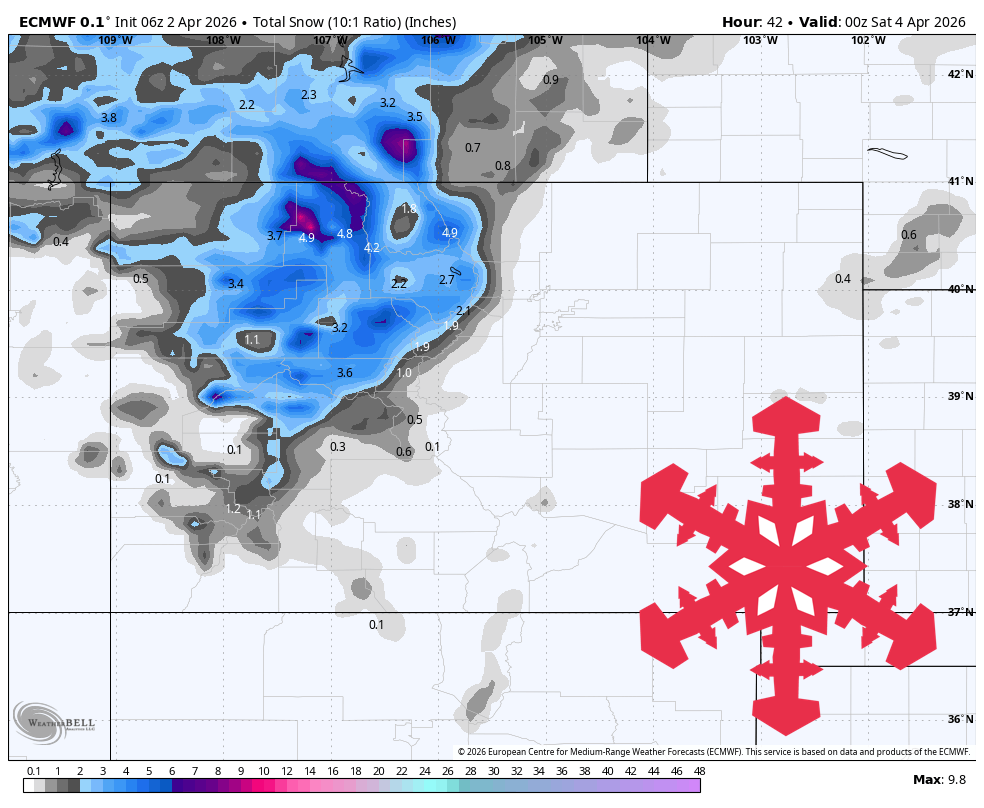
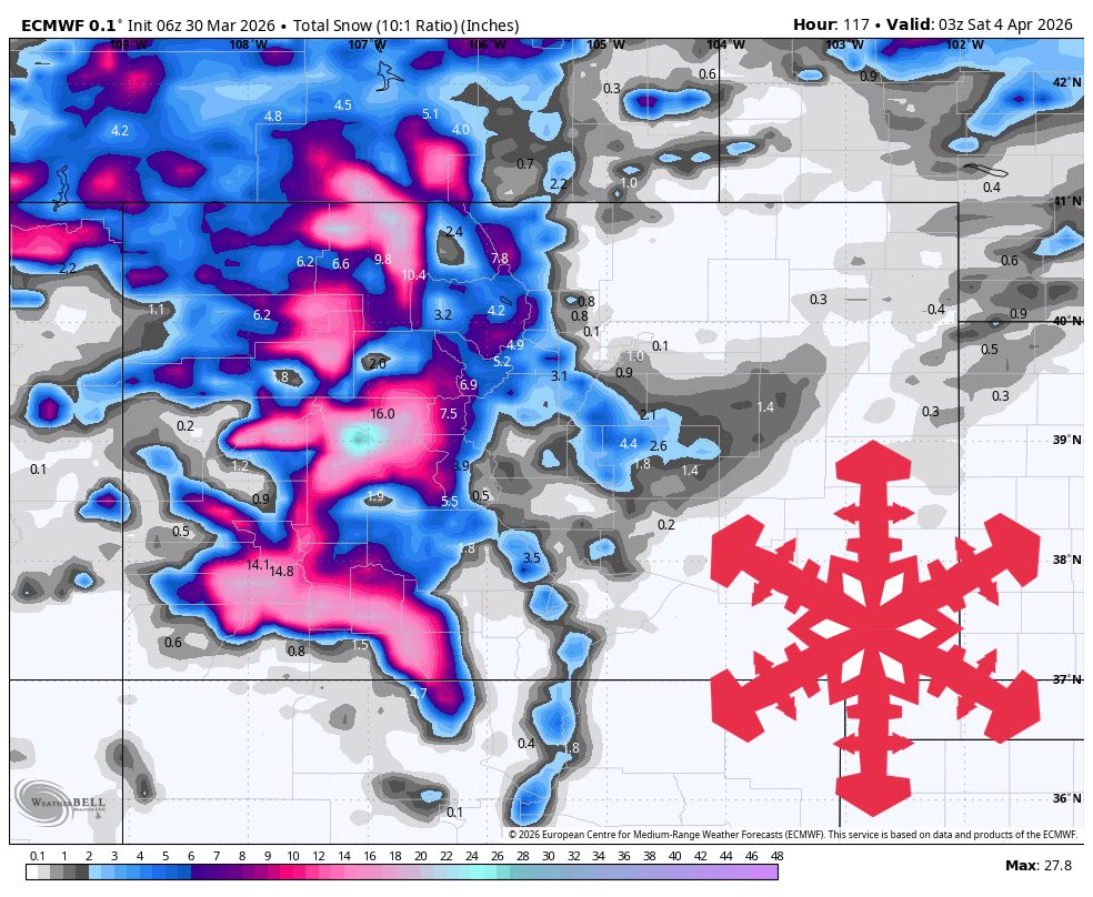
fromSnowBrains
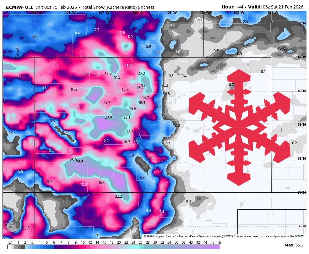
1 month agoSnowBrains Forecast: Up to 10 Inches for Colorado Through Wednesday - SnowBrains
From late Saturday night through Sunday, guidance is converging on timing and warmer snow levels but diverging on intensity and ridge-top wind magnitude, with the most consistent signal for light snowfall in the northern and central ranges and limited coverage farther south. Most mountains should stay in the low single digits for accumulation during this first push, with favored terrain near the Continental Divide able to approach around 4 inches by Sunday evening.
Snowboarding
Snowboarding
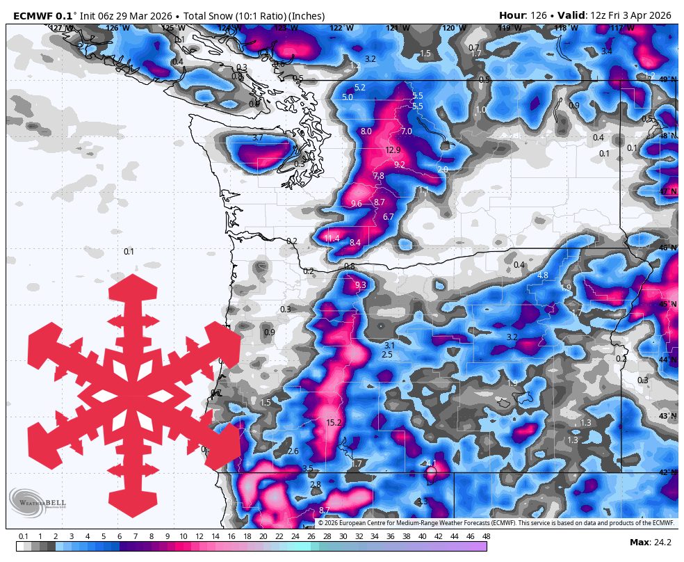
fromSnowBrains
1 month agoSnowBrains Forecast: Wet Early Snow Then Variable Conditions for Colorado - SnowBrains
Mountain snowfall peaks through Thursday with heavy wet snow and strong winds, followed by uncertain lighter accumulations and a return to warmer, quieter conditions by the weekend.
Snowboarding
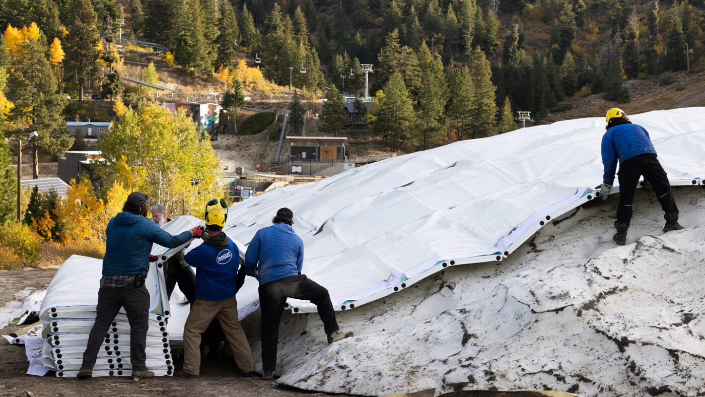
fromThe Walrus
1 month agoAll That Glitters Is Not Snow: How Ski Resorts Are Replicating Reality | The Walrus
Ski resorts rely heavily on artificial snowmaking using massive amounts of water and energy, raising sustainability concerns as climate change shortens winters and increases production demands.


Snowboarding
fromSnowBrains
1 month agoWhere Will it Be Deep This Week? These are the Top 5 Forecasted Resorts in North America for the Next 10 Days - SnowBrains
Ski resorts across North America will receive varying cumulative snowfall over the next 10 days, with some receiving the most snow in the coming week.


Snowboarding
fromSnowBrains
1 month agoMassive Tahoe Storm Pushes Snowpack From 60% to 98% of Average After 8 Feet Falls at Palisades Tahoe, CA, This Week - SnowBrains
A powerful February storm cycle dumped heavy snow across the Tahoe region, boosting the Sierra Nevada seasonal snowpack from 60% to 98% of average.
fromSnowBrains
1 month agoSnowiest.app: A Free, Multi-Model Snow Forecast Tool to Help You Plan a Ski Trip - SnowBrains
Enter Snowiest.app, a free, donation-based weather aggregator website that is putting the raw data directly into the hands of skiers and riders. Snowiest isn't a forecaster-it's a model comparison tool. It helps you see agreement and uncertainty across multiple model outputs in one place . Designed for transparency, it puts the raw numbers front and center. Their data comes from globally recognized weather models such as:
Snowboarding
fromSnowBrains
2 months agoNASA: The West Faces Snow Drought - SnowBrains
This image, acquired with the MODIS (Moderate Resolution Imaging Spectroradiometer) on NASA's Terra satellite, provides a wide view of meager western snow cover on January 15. On that day, measurements derived from satellite observations showed that snow blanketed 142,700 square miles (369,700 square kilometers) of the west. That's the lowest coverage for that date in the MODIS record dating back to 2001 and less than one-third of the median. Coverage had increased slightly by January 26.
Snowboarding
fromSnowBrains
1 month agoSnowBrains Forecast: Snow Finally Returns to Colorado With 1 Foot This Week - SnowBrains
The midweek stretch looks like the most reliable window for fresh turns, with the steadiest snow lining up Wednesday night into Thursday and lighter add-ons into Friday. Snow levels run a little high early, then step down late week, so snow quality should improve as the storm cycle matures. Some areas could see the next wave begin as early as Sun night (02/15), but confidence drops quickly with lead time and placement.
Snowboarding
fromSnowBrains
1 month ago[PHOTOS] Snow Buries French Alps as Massive Storm Dumps 6 Feet of Powder - SnowBrains
Snowfall in France this week has been huge, with some resorts seeing more than 2 meters (6.6 feet) in the last five days. A massive winter storm hammered the French Alps from February 10-13, unleashing monster snowfall that has buried resorts and reshaped the mountain landscape just days before Valentine's Day weekend. Across the Northern Alps - including iconic resorts in Haute-Savoie, Savoie, and Isère - weather stations reported extraordinary snow totals.
Snowboarding
[ Load more ]