New York City
fromHudson Valley Post
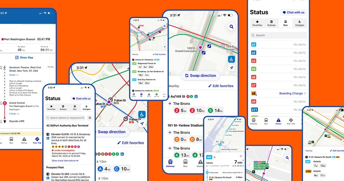
18 hours ago'Game-Changer' App is Must-Have for Hudson Valley Visitors to NYC
The new MTA App simplifies navigation for subway and bus riders in New York City with real-time updates and accessibility features.
On February 28, ships navigating the Strait of Hormuz started appearing on tracking screens in places they couldn't possibly be. They appeared to be sitting on airport runways, parked on Iranian land, and clustered at nuclear power plants. More than 1,100 commercial vessels had their navigation systems scrambled in a single day following US-Israeli airstrikes on Iran, bringing a waterway that handles a fifth of the world's oil exports to a halt.
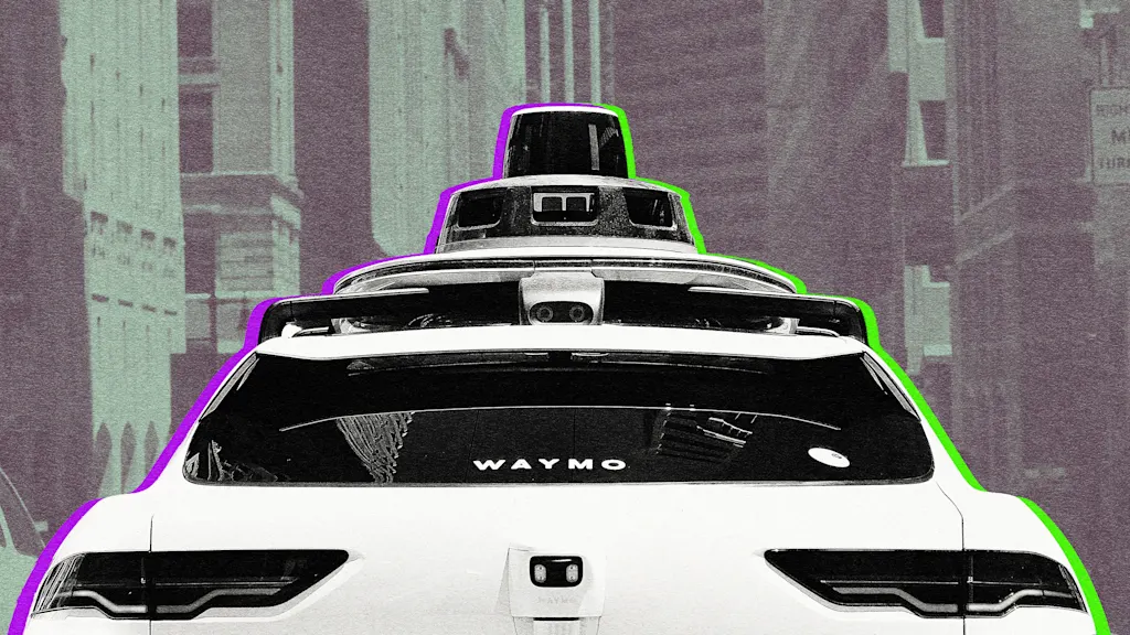
Despite significant investments and technological advancements, the reality is that no vehicle currently operating on public roads can be classified as fully autonomous. The complexities of real-world driving conditions present insurmountable challenges.
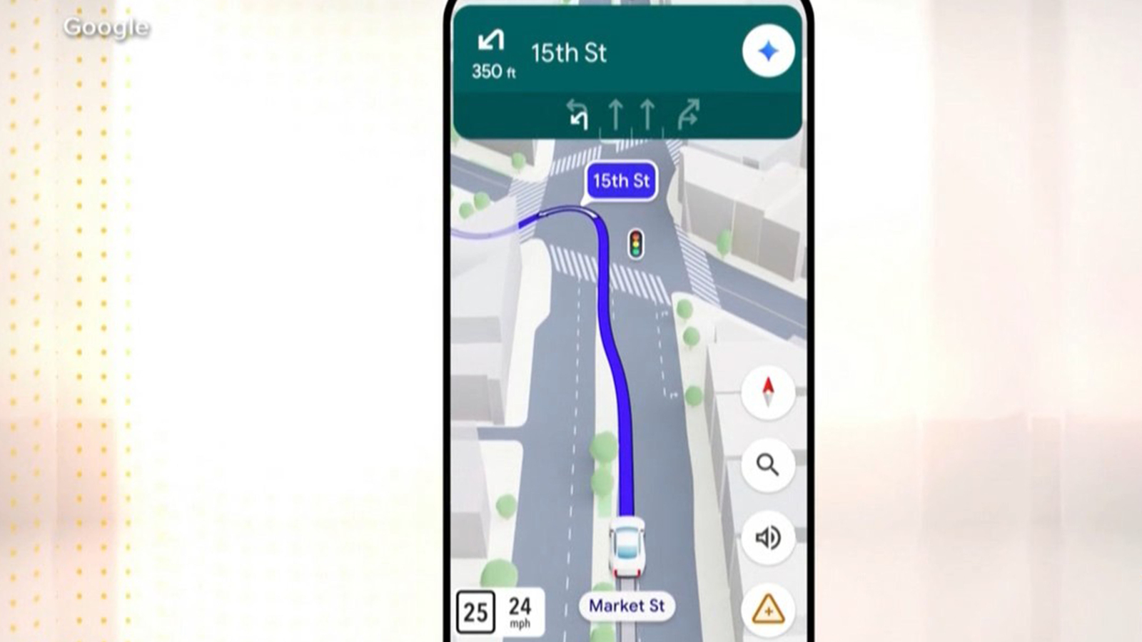
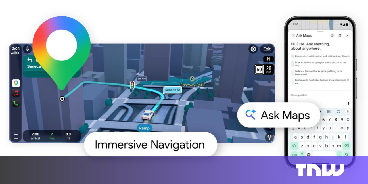
The new Immersive Navigation mode introduces a detailed 3D map that includes buildings, overpasses, crosswalks, traffic lanes, traffic lights, and stop signs. Google bills this new mode as being the most significant update in over a decade to the app's driving experience. According to the American IT giant, the changes should help drivers stay focused and informed on the road, with Maps giving fresh, real-world information and natural directions.
Coco is pushing beyond the slower sidewalk delivery bots that have shaped the category so far. The new robot can move onto streets and bike lanes where legal and appropriate, and it can carry multiple orders at once, according to Semafor's report on Coco 2.
Every city contains two transportation systems. One is the visible network of roads, rail lines, sidewalks, and bus routes mapped in planning documents. The other is the invisible geography of privilege and exclusion embedded within it: the neighborhoods that received highways instead of parks, the communities whose bus routes were cut, the sidewalks that abruptly end at the edge of a district.
Earlier we did episode one of this with Grady Booch where we discussed the principled view of that what's changing and what remains unchanged, what is hyped and what is actually naturally coming with the AI changes. We also spoke about that what is the difference between the design and the architecture and what teams are focusing and what they might be missing.
Komoot has launched a ChatGPT integration that enables cyclists (and hikers, etc.) to discover routes through natural language queries. You can request specific routes by typing normal, conversational prompts and get curated recommendations from komoot's database of over 7 million routes and 4 million community highlights.
When routes are well organized, there are clear directional signs, and speed limits become reasonable. The early installation of warning signs allows transport companies to plan deliveries more accurately and avoid delays. For businesses, time is money. When a truck carrying goods does not spend hours detouring due to an unclear traffic scheme or stuck in traffic where it could have been avoided thanks to competent traffic management, fuel costs, driver wages, and vehicle maintenance costs are reduced.
After writing about Google Maps for nearly 15 years, I've learned firsthand that it's packed with hidden settings, menus, and toggles. Many help you fine-tune the app to your liking, while others unlock new features you probably didn't know existed.
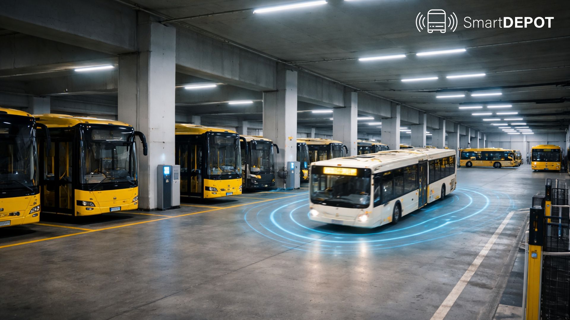
For more than a decade, autonomous buses have been "almost ready." Demonstrations with safety drivers began around 2015, and ten years later, this is still largely what we see. The reason is not a lack of ambition - it is physics, safety, and economics. Autonomous buses on city streets are inherently difficult. They carry dozens of passengers, operate as heavy vehicles, and move through a chaotic urban environment.
We're introducing a new animated map engine built on top of ruby-libgd and libgd-gis. It allows Ruby applications to render real basemaps, draw GIS layers, and animate moving objects (cars, routes, planes) entirely on the backend - no JavaScript or WebGL required.
There's no one solution to fix the city's gridlock, Toronto's new chief congestion officer says as he finishes up his first week on the job. Andrew Posluns sat down with CBC Toronto on Friday to discuss the freshly created role, noting there's no magic bullet that will address the city's congestion. There are a lot of factors that feed into congestion, he said. We need to do everything we can in order to be able to mitigate and address the congestion challenges that arise.
The design, which has a cycle lane between the stop and the kerb, is intended to allow bus passengers to get on and off safely while cyclists continue moving. Sarah Gayton, street access campaign co-ordinator at the National Federation of the Blind of the UK, said: "It does not address the concerns that blind and visually impaired people have and it's totally insulting to think that we'll accept this."
It's tempting to frame autonomous driving as a single leap. In public transport, adoption tends to be incremental - because the system is built for reliability, and new capabilities have to fit into daily operations without disrupting service. That is why a practical strategy is evolution, not revolution: introduce autonomy in a defined domain, learn safely in real operations, and expand capability step-by-step.